File:1868 BB Pin Stas Jalc map.png
Jump to navigation
Jump to search
Size of this preview: 798 × 158 pixels. Other resolutions: 320 × 63 pixels | 1,525 × 302 pixels.
Original file (1,525 × 302 pixels, file size: 372 KB, MIME type: image/png)
Captions
Captions
Add a one-line explanation of what this file represents
Summary[edit]
| Description |
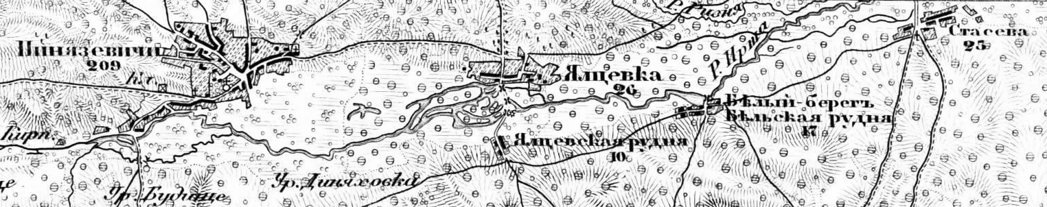
English: Map of 1868 with villages Pyniazevychi, Yaltsivka, Yaltsivska Rudnia, Belyy Bereg, Staseva (volost of Malyn, district of Radomysl) Українська: Мапа 1868 року з зображенням сіл Пинязевичі, Ялцівка, Ялцівська Рудня, Білий Берег та Стасева Малинської волості Радомисльського повіту Русский: Карта 1868 года с изображением сел Пинязевичи, Ялцовка, Ялцовская Рудня, Белый Берег и Стасева Малинской волости Радомысльского уезда |
| Date | |
| Source | Scan map |
| Author | Unknown author |
Licensing[edit]
|
This work is in the public domain in its country of origin and other countries and areas where the copyright term is the author's life plus 100 years or fewer. | |
| This file has been identified as being free of known restrictions under copyright law, including all related and neighboring rights. | |
File history
Click on a date/time to view the file as it appeared at that time.
| Date/Time | Thumbnail | Dimensions | User | Comment | |
|---|---|---|---|---|---|
| current | 15:28, 26 August 2011 | 1,525 × 302 (372 KB) | Pvladko (talk | contribs) |
You cannot overwrite this file.
File usage on Commons
There are no pages that use this file.
File usage on other wikis
The following other wikis use this file:
- Usage on en.wikipedia.org
- Usage on ru.wikipedia.org
- Usage on uk.wikipedia.org