File:21.34555E 63.33403N.png
Jump to navigation
Jump to search
Size of this preview: 563 × 599 pixels. Other resolutions: 226 × 240 pixels | 594 × 632 pixels.
Original file (594 × 632 pixels, file size: 566 KB, MIME type: image/png)
Captions
Captions
Add a one-line explanation of what this file represents
Summary[edit]
| Description |
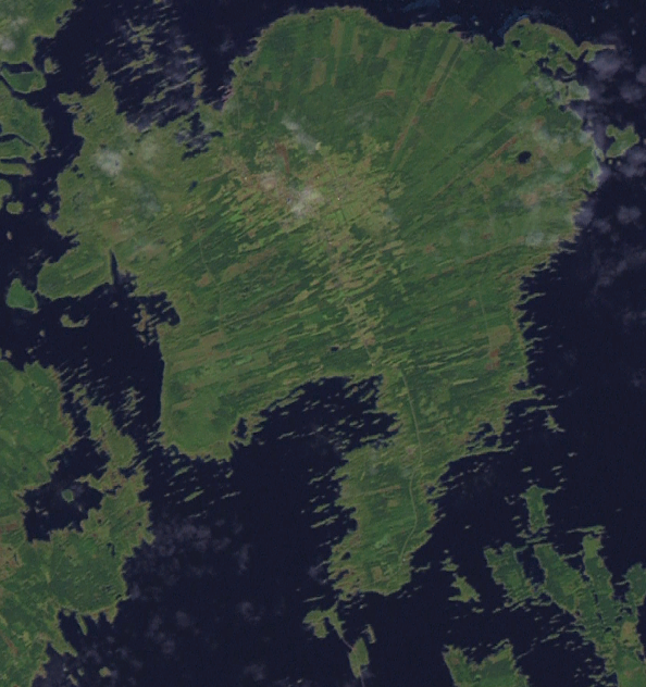
English: Coloured satellite image of Björkö island, Finland. |
| Date | 5 April 2006 (upload date) |
| Source |
Screenshot from NASA World Wind, OnEarth WMS global mosaic pseudocolor layer. Coordinates: |
| Author | NASA |
| Object location | | View this and other nearby images on: OpenStreetMap |
|---|
Licensing[edit]
| This image is in the public domain because it is a screenshot from NASA’s globe software World Wind using a public domain layer, such as Blue Marble, MODIS, Landsat, SRTM, USGS or GLOBE.
|
 |
File history
Click on a date/time to view the file as it appeared at that time.
| Date/Time | Thumbnail | Dimensions | User | Comment | |
|---|---|---|---|---|---|
| current | 00:39, 6 April 2006 | | 594 × 632 (566 KB) | Hautala (talk | contribs) | sharper picture |
| 22:32, 5 April 2006 |  | 615 × 652 (480 KB) | Hautala (talk | contribs) | {{PD-WorldWind}} Coloured satellite image of Björkö island, Finland. Screenshot from NASA World Wind, OnEarth WMS layer. Coordinates: :worldwind://goto/world=Earth&lat=63.33403&lon=21.34555&alt=20264 |
You cannot overwrite this file.
File usage on Commons
There are no pages that use this file.
File usage on other wikis
The following other wikis use this file:
- Usage on ceb.wikipedia.org
- Usage on en.wikipedia.org
- Usage on es.wikipedia.org
- Usage on fi.wikipedia.org
- Usage on fr.wikipedia.org
- Usage on mk.wikipedia.org
- Usage on www.wikidata.org