File:219 IRTWP SB plat jeh.jpg
Jump to navigation
Jump to search

Size of this preview: 800 × 600 pixels. Other resolutions: 320 × 240 pixels | 640 × 480 pixels | 1,024 × 768 pixels | 1,280 × 960 pixels | 2,560 × 1,920 pixels | 3,264 × 2,448 pixels.
Original file (3,264 × 2,448 pixels, file size: 784 KB, MIME type: image/jpeg)
Captions
Captions
Add a one-line explanation of what this file represents
Summary[edit]
| Description |
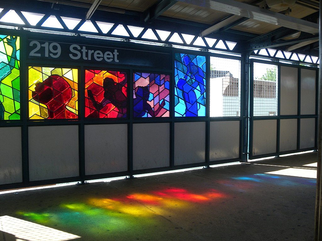
English: Looking west at 219 St southbound platform on a sunny afternoon. |
| Date | Taken on 2 June 2011 |
| Source | Own work |
| Author | Jim.henderson |
| Camera location | | View this and other nearby images on: OpenStreetMap |
|---|
Licensing[edit]
I, the copyright holder of this work, hereby publish it under the following license:
| This file is made available under the Creative Commons CC0 1.0 Universal Public Domain Dedication. | |
| The person who associated a work with this deed has dedicated the work to the public domain by waiving all of their rights to the work worldwide under copyright law, including all related and neighboring rights, to the extent allowed by law. You can copy, modify, distribute and perform the work, even for commercial purposes, all without asking permission.
|
File history
Click on a date/time to view the file as it appeared at that time.
| Date/Time | Thumbnail | Dimensions | User | Comment | |
|---|---|---|---|---|---|
| current | 22:58, 7 September 2011 | | 3,264 × 2,448 (784 KB) | Jim.henderson (talk | contribs) |
You cannot overwrite this file.
File usage on Commons
There are no pages that use this file.
File usage on other wikis
The following other wikis use this file:
- Usage on az.wikipedia.org
- Usage on en.wikipedia.org
- Usage on es.wikipedia.org
- Usage on ja.wikipedia.org
- Usage on ml.wikipedia.org
- Usage on ru.wikipedia.org
- Usage on simple.wikipedia.org
- New York City Subway
- Interborough Rapid Transit Company
- IND Eighth Avenue Line
- Template:NYCS-nav
- IND Sixth Avenue Line
- IND Crosstown Line
- BMT Canarsie Line
- BMT Nassau Street Line
- BMT Broadway Line
- IRT Broadway–Seventh Avenue Line
- IRT Lexington Avenue Line
- IRT Flushing Line
- List of unused or defunct New York City Subway services
- Grand Central–42nd Street station
- Usage on th.wikipedia.org
- Usage on www.wikidata.org