File:31- Toulouse - Ancienne église de Notre-Dame-des-Grâces – Place d’Arménie.jpg
Jump to navigation
Jump to search

Size of this preview: 800 × 566 pixels. Other resolutions: 320 × 226 pixels | 640 × 453 pixels | 1,024 × 724 pixels | 1,280 × 905 pixels | 2,560 × 1,811 pixels | 3,054 × 2,160 pixels.
Original file (3,054 × 2,160 pixels, file size: 4.75 MB, MIME type: image/jpeg)
Captions
Captions
Add a one-line explanation of what this file represents
Summary[edit]
|
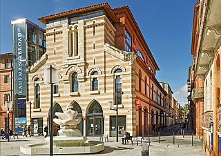
Toulouse - Ancienne église de Notre-Dame-des-Grâces – Place d’Arménie | |||||||||||||||||||||
|
| |||||||||||||||||||||

File history
Click on a date/time to view the file as it appeared at that time.
| Date/Time | Thumbnail | Dimensions | User | Comment | |
|---|---|---|---|---|---|
| current | 13:25, 8 October 2020 | | 3,054 × 2,160 (4.75 MB) | Archaeodontosaurus (talk | contribs) | {{Information |Description= |Source={{own}} |Date= |Author= Archaeodontosaurus |Permission= |other_versions= }} |
You cannot overwrite this file.
File usage on Commons
The following 4 pages use this file:
File usage on other wikis
The following other wikis use this file:
- Usage on fr.wikipedia.org
- Usage on nl.wikipedia.org