File:Country lane in Tintwistle, Derbyshire, England.jpg
(Redirected from File:400787 73b8e50b-by-John-Fielding.jpg)
No higher resolution available.
Country_lane_in_Tintwistle,_Derbyshire,_England.jpg (640 × 480 pixels, file size: 79 KB, MIME type: image/jpeg)
Captions
Captions
Add a one-line explanation of what this file represents
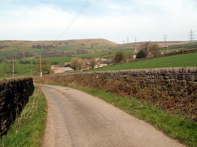
| Description | Arnfield Lane in Tintwistle, Derbyshire, England. |
| Date | 2007-04-14T21:18:42+00:00 |
| Source | From geograph.org.uk |
| Author | John Fielding |
| Permission (Reusing this file) |
Creative Commons Attribution Share-alike license 2.0 |
| Camera location | | View this and other nearby images on: OpenStreetMap |
|---|

|
This image was taken from the Geograph project collection. See this photograph's page on the Geograph website for the photographer's contact details. The copyright on this image is owned by John Fielding and is licensed for reuse under the Creative Commons Attribution-ShareAlike 2.0 license.
|
This file is licensed under the Creative Commons Attribution-Share Alike 2.0 Generic license.
Attribution: John Fielding
- You are free:
- to share – to copy, distribute and transmit the work
- to remix – to adapt the work
- Under the following conditions:
- attribution – You must give appropriate credit, provide a link to the license, and indicate if changes were made. You may do so in any reasonable manner, but not in any way that suggests the licensor endorses you or your use.
- share alike – If you remix, transform, or build upon the material, you must distribute your contributions under the same or compatible license as the original.
File history
Click on a date/time to view the file as it appeared at that time.
| Date/Time | Thumbnail | Dimensions | User | Comment | |
|---|---|---|---|---|---|
| current | 13:37, 2 August 2009 | | 640 × 480 (79 KB) | ClickRick (talk | contribs) | Higher resolution version from geograph |
| 16:30, 8 May 2008 |  | 250 × 177 (73 KB) | Ning-ning (talk | contribs) | {{Information |Description=Arnfield Lane |Source=From [http://www.geograph.org.uk/photo/400787 geograph.org.uk] |Date=2007-04-14T21:18:42+00:00 |Author=[http://www.geograph.org.uk/profile/11323 John Fielding] |Permission=Creative Commons Attribution Share |
You cannot overwrite this file.
File usage on Commons
The following page uses this file:
- File:400787 73b8e50b-by-John-Fielding.jpg (file redirect)
File usage on other wikis
The following other wikis use this file: