File:93920 ZCTA 2000 Census.png
(Redirected from File:93920 ZCTA 2000 Census.gif)
No higher resolution available.
93920_ZCTA_2000_Census.png (575 × 425 pixels, file size: 27 KB, MIME type: image/png)
Captions
Captions
Add a one-line explanation of what this file represents
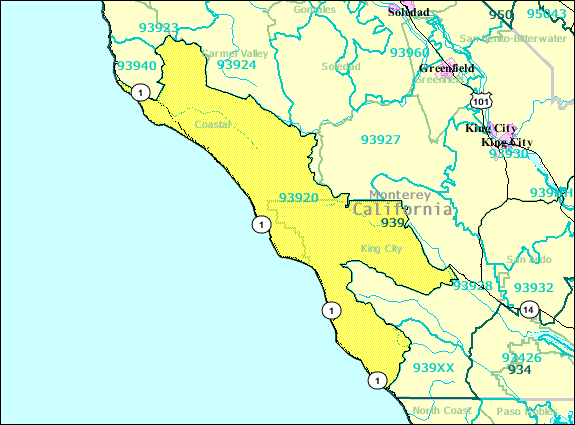
Summary[edit]
| Description |
English: ZIP Code Tabulation Area for 93920 (Big Sur, Monterey County, California) created on-the-fly from 2000 US Census TIGER files on April 26, 2009; 65 miles across; may no longer correspond to USPS ZIP boundaries |
|||
| Source | http://factfinder.census.gov/servlet/SAFFFacts?_event=Search&geo_id=&_geoContext=&_street=&_county=93920 | |||
| Author | US Department of Commerce, Bureau of the Census | |||
| Permission (Reusing this file) |
|

Original upload log[edit]
| Date/Time | Dimensions | User | Comment |
|---|---|---|---|
| 26 April 2009, 18:38:42 | 575 × 425 (27546 bytes) | Hjal (talk · contribs) | {{Information |Description={{en|1=Zip Code Tabulation Area for 93920 (Big Sur, Monterey County, California) created on-the-fly from 2000 US Census TIGER files on April 26, 2009; 65 miles across; may no longer correspond to USPS ZIP boundaries}} |Source=ht |
File history
Click on a date/time to view the file as it appeared at that time.
| Date/Time | Thumbnail | Dimensions | User | Comment | |
|---|---|---|---|---|---|
| current | 19:06, 2 August 2014 | | 575 × 425 (27 KB) | GifTagger (talk | contribs) | Bot: Converting file to superior PNG file. (Source: 93920_ZCTA_2000_Census.gif). This GIF was problematic due to non-greyscale color table. |
You cannot overwrite this file.
File usage on Commons
The following page uses this file:
- File:93920 ZCTA 2000 Census.gif (file redirect)
File usage on other wikis
The following other wikis use this file: