File:97L 2011-10-21 1345Z.jpg
Jump to navigation
Jump to search

Size of this preview: 800 × 450 pixels. Other resolutions: 320 × 180 pixels | 640 × 360 pixels | 1,024 × 576 pixels | 1,280 × 720 pixels | 1,920 × 1,080 pixels.
Original file (1,920 × 1,080 pixels, file size: 2.14 MB, MIME type: image/jpeg)
Captions
Captions
Add a one-line explanation of what this file represents
Summary[edit]
| Description |
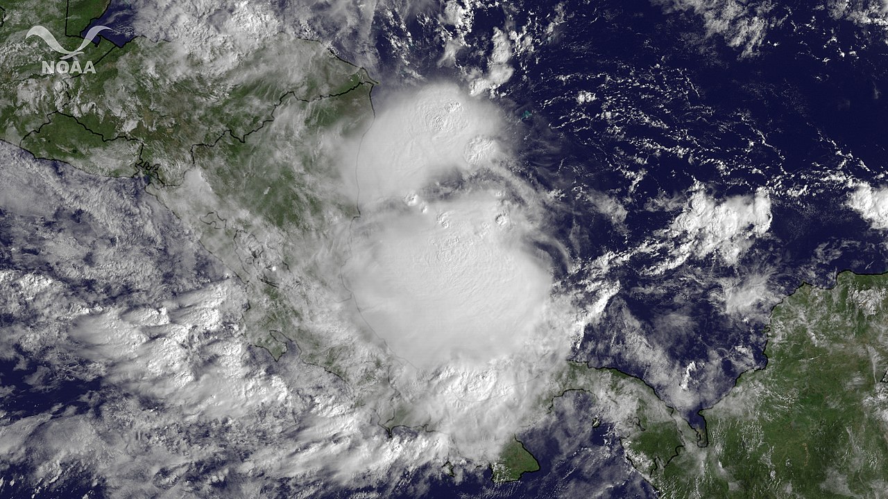
English: A nearly stationary area of low pressure located over the western Caribbean Sea between Nicaragua and Jamaica is producing a large area of cloudiness and thunderstorms. Surface pressures are falling and upper-level winds are expected to become more favorable for development. This image is from GOES East at 1345Z on October 21, 2011. |
| Date | |
| Source | https://www.nnvl.noaa.gov/MediaDetail2.php?MediaID=866&MediaTypeID=1 |
| Author | NOAA |
Licensing[edit]
This image is in the public domain because it contains materials that originally came from the U.S. National Oceanic and Atmospheric Administration, taken or made as part of an employee's official duties.
|
File history
Click on a date/time to view the file as it appeared at that time.
| Date/Time | Thumbnail | Dimensions | User | Comment | |
|---|---|---|---|---|---|
| current | 08:38, 14 April 2018 | | 1,920 × 1,080 (2.14 MB) | A1Cafel (talk | contribs) | User created page with UploadWizard |
You cannot overwrite this file.
File usage on Commons
The following page uses this file: