File:A56 Edenfield Bypass Link Road - geograph.org.uk - 314874.jpg
Jump to navigation
Jump to search
No higher resolution available.
A56_Edenfield_Bypass_Link_Road_-_geograph.org.uk_-_314874.jpg (640 × 480 pixels, file size: 83 KB, MIME type: image/jpeg)
Captions
Captions
Add a one-line explanation of what this file represents
Summary[edit]
| Description |
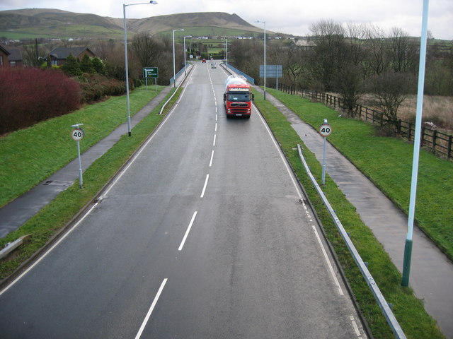
English: A56 Edenfield Bypass Link Road 123523 on the horizon
Edenfield shared in the textile boom of the 18th and 19th centuries, but also has a long farming tradition. This continues today, with open farmland only a few minutes walk from the cottage homes in the village. Most of the mills have been demolished or converted to other uses. Much of the land in the area is in the ownership of the National Trust, the result of a bequest by the Porritt family in memory of Richard Porritt, the first Member of Parliament to be killed in action during the Second World War, and many attractive footpaths traverse this area, including a section of the 45-mile Rossendale Way long-distance footpath. |
| Date | |
| Source | From geograph.org.uk |
| Author | Paul Anderson |
| Attribution (required by the license) | Paul Anderson / A56 Edenfield Bypass Link Road / |
| Camera location | | View this and other nearby images on: OpenStreetMap |
|---|
_heading:112.00&language=en)
| Object location | | View this and other nearby images on: OpenStreetMap |
|---|
_heading:112.00&language=en)
Licensing[edit]

|
This image was taken from the Geograph project collection. See this photograph's page on the Geograph website for the photographer's contact details. The copyright on this image is owned by Paul Anderson and is licensed for reuse under the Creative Commons Attribution-ShareAlike 2.0 license.
|
This file is licensed under the Creative Commons Attribution-Share Alike 2.0 Generic license.
Attribution: Paul Anderson
- You are free:
- to share – to copy, distribute and transmit the work
- to remix – to adapt the work
- Under the following conditions:
- attribution – You must give appropriate credit, provide a link to the license, and indicate if changes were made. You may do so in any reasonable manner, but not in any way that suggests the licensor endorses you or your use.
- share alike – If you remix, transform, or build upon the material, you must distribute your contributions under the same or compatible license as the original.
File history
Click on a date/time to view the file as it appeared at that time.
| Date/Time | Thumbnail | Dimensions | User | Comment | |
|---|---|---|---|---|---|
| current | 14:23, 30 December 2010 | | 640 × 480 (83 KB) | GeographBot (talk | contribs) | == {{int:filedesc}} == {{Information |description={{en|1=A56 Edenfield Bypass Link Road 123523 on the horizon Edenfield shared in the textile boom of the 18th and 19th centuries, but also has a long farming tradition. This continues today, with ope |
You cannot overwrite this file.
File usage on Commons
There are no pages that use this file.
File usage on other wikis
The following other wikis use this file:
- Usage on pt.wikipedia.org