File:AachTopfPano02.jpg
Jump to navigation
Jump to search

Size of this preview: 800 × 293 pixels. Other resolutions: 320 × 117 pixels | 640 × 234 pixels | 1,024 × 375 pixels | 1,280 × 469 pixels | 4,899 × 1,795 pixels.
Original file (4,899 × 1,795 pixels, file size: 2.6 MB, MIME type: image/jpeg)
Captions
Captions
Add a one-line explanation of what this file represents
Summary[edit]
| Description |
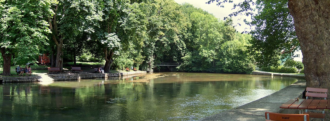
Deutsch: Blick in den Aachtopf, wasserreichste Karstquelle Deutschlands, Quelle der Radolfzeller Aach. Panorama aus 3 Fotos English: karst spring Aachtopf, source of the river Radolfzeller Aach in Baden-Württemberg, Germany. 3 pictures stitched |
| Date | Taken on 30 July 2008 |
| Source | Own work |
| Author | Hubert Berberich (HubiB) |
| Permission (Reusing this file) |
Author: Hubert Berberich, see below |
| Camera location | | View this and other nearby images on: OpenStreetMap |
|---|
Licensing[edit]
This file is licensed under the Creative Commons Attribution 3.0 Unported license.
- You are free:
- to share – to copy, distribute and transmit the work
- to remix – to adapt the work
- Under the following conditions:
- attribution – You must give appropriate credit, provide a link to the license, and indicate if changes were made. You may do so in any reasonable manner, but not in any way that suggests the licensor endorses you or your use.
File history
Click on a date/time to view the file as it appeared at that time.
| Date/Time | Thumbnail | Dimensions | User | Comment | |
|---|---|---|---|---|---|
| current | 20:53, 18 August 2008 | 4,899 × 1,795 (2.6 MB) | HubiB (talk | contribs) | == Beschreibung == {{Information |Description = {{de|Aachtopf, Blick in den Aachtopf, Panorama aus 3 Fotos}} {{en|Aach spring, 3 pictures stitched}} |Source = own work |Date = 2008-07-30 (photo taken on that day) |Author = Hubert Berberich ([[User:HubiB|H |
You cannot overwrite this file.
File usage on Commons
The following page uses this file:
File usage on other wikis
The following other wikis use this file:
- Usage on als.wikipedia.org
- Usage on arz.wikipedia.org
- Usage on cs.wikipedia.org
- Usage on de.wikipedia.org
- Usage on en.wikipedia.org
- Usage on es.wikipedia.org
- Usage on tl.wikipedia.org
- Usage on uk.wikipedia.org
- Usage on www.wikidata.org