File:Abraham Moss Metrolink station.jpg
Jump to navigation
Jump to search
No higher resolution available.
Abraham_Moss_Metrolink_station.jpg (640 × 430 pixels, file size: 46 KB, MIME type: image/jpeg)
Captions
Captions
Add a one-line explanation of what this file represents
Summary[edit]
| Description |
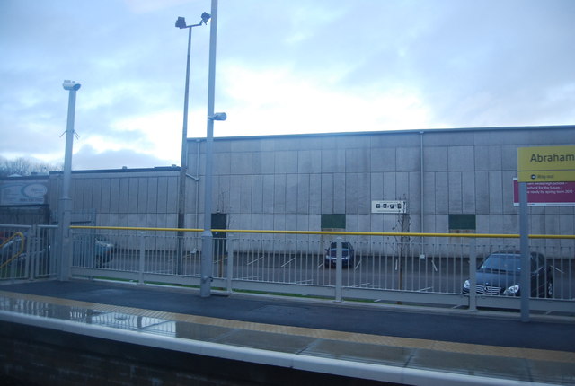
English: The Metrolink is a light rail system. It has three lines converging on Manchester city centre from Bury, Altrincham and Eccles. The system is owned by the Greater Manchester Passenger Transport Executive (GMPTE). The routes use a combination of old railway lines and street lines. The first line opened in 1992.
Four new lines are due to open by 2016 to Manchester Airport, Rochdale, Ashton and East Didsbury. |
||
| Date | 17 December, 2011 (date taken) 2012-07-19 (uploaded to commons) | ||
| Source | https://www.geograph.org.uk/photo/2903084 | ||
| Author | Nigel Chadwick | ||
| Permission (Reusing this file) |
This file is licensed under the Creative Commons Attribution-Share Alike 2.0 Generic license. Attribution: Nigel Chadwick
|

| Camera location | | View this and other nearby images on: OpenStreetMap |
|---|
_heading:45.00&language=en)
| Object location | | View this and other nearby images on: OpenStreetMap |
|---|
_heading:45.00&language=en)
File history
Click on a date/time to view the file as it appeared at that time.
| Date/Time | Thumbnail | Dimensions | User | Comment | |
|---|---|---|---|---|---|
| current | 20:22, 19 July 2012 | | 640 × 430 (46 KB) | Delusion23 (talk | contribs) |
You cannot overwrite this file.
File usage on Commons
The following page uses this file: