File:Aland26571.png
Jump to navigation
Jump to search
No higher resolution available.
Aland26571.png (514 × 505 pixels, file size: 8 KB, MIME type: image/png)
Captions
Captions
Add a one-line explanation of what this file represents
Summary[edit]
| Description |
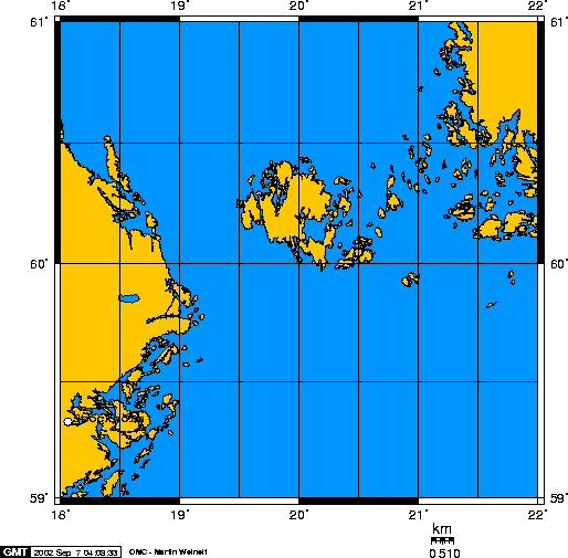
English: Aland Map.
Created using PD and GFDL sources: US Government datasets, GMT software, and GIMP in Linux:
|
| Date | 7 September 2002 (original upload date) |
| Source | Transferred from en.wikipedia to Commons. |
| Author | Caltrop at English Wikipedia |
Licensing[edit]

|
Permission is granted to copy, distribute and/or modify this document under the terms of the GNU Free Documentation License, Version 1.2 or any later version published by the Free Software Foundation; with no Invariant Sections, no Front-Cover Texts, and no Back-Cover Texts. A copy of the license is included in the section entitled GNU Free Documentation License. |
| This file is licensed under the Creative Commons Attribution-Share Alike 3.0 Unported license. | ||
| ||
| This licensing tag was added to this file as part of the GFDL licensing update. |
| This work has been released into the public domain by its author, Caltrop at English Wikipedia. This applies worldwide. In some countries this may not be legally possible; if so: Caltrop grants anyone the right to use this work for any purpose, without any conditions, unless such conditions are required by law. |
Original upload log[edit]
The original description page was here. All following user names refer to en.wikipedia.
- 2002-09-07 02:10 Caltrop 514×505×2 (7893 bytes) Aland Map from a copyright free map drawing program
File history
Click on a date/time to view the file as it appeared at that time.
| Date/Time | Thumbnail | Dimensions | User | Comment | |
|---|---|---|---|---|---|
| current | 23:18, 12 November 2007 | | 514 × 505 (8 KB) | File Upload Bot (Magnus Manske) (talk | contribs) | {{BotMoveToCommons|en.wikipedia}} {{Information |Description={{en|Aland Map. Created using PD and GFDL sources: US Government datasets, GMT software, and GIMP in Linux: :GMT is an open source collection of ~60 tools for manipulating geographic and Carte |
You cannot overwrite this file.
File usage on Commons
There are no pages that use this file.
File usage on other wikis
The following other wikis use this file:
- Usage on ca.wikipedia.org
- Usage on el.wikipedia.org
- Usage on fa.wikipedia.org
- Usage on no.wikipedia.org
- Usage on ru.wikipedia.org