File:Alexandria, Virginia.svg
Jump to navigation
Jump to search

Size of this PNG preview of this SVG file: 733 × 475 pixels. Other resolutions: 320 × 207 pixels | 640 × 415 pixels | 1,024 × 664 pixels | 1,280 × 829 pixels | 2,560 × 1,659 pixels.
Original file (SVG file, nominally 733 × 475 pixels, file size: 574 KB)
Captions
Captions
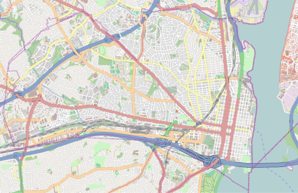
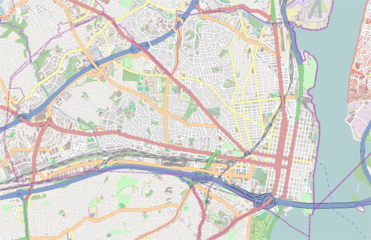
Alexandria, Virginia city map.
Summary[edit]
| Description |
English: Alexandria, Virginia where left=-77.14537, bottom=38.78440, right=-77.01988, and top=38.84699. |
| Date | |
| Source | http://tiles.wmflabs.org/osm/slippymap2.html |
| Author | Open StreetMap Foundation |
| SVG development |

Licensing[edit]
| This work contains information from OpenStreetMap, which is made available under the Open Database License (ODbL).
The ODbL does not require any particular license for maps produced from ODbL data. Prior to 1 August 2020, map tiles produced by the OpenStreetMap Foundation were licensed under the CC-BY-SA-2.0 license. Maps produced by other people may be subject to other licences. |
File history
Click on a date/time to view the file as it appeared at that time.
| Date/Time | Thumbnail | Dimensions | User | Comment | |
|---|---|---|---|---|---|
| current | 19:39, 10 April 2017 | | 733 × 475 (574 KB) | Id4abel (talk | contribs) | User created page with UploadWizard |
You cannot overwrite this file.
File usage on Commons
There are no pages that use this file.
File usage on other wikis
The following other wikis use this file:
- Usage on ar.wikipedia.org
- Usage on ceb.wikipedia.org
- Usage on en.wikipedia.org
- Jones Point (Virginia)
- George Washington Masonic National Memorial
- Virginia Theological Seminary
- Potomac, Virginia
- Hunting Creek
- Gadsby's Tavern
- Fort Ward (Virginia)
- Parkfairfax, Virginia
- Christ Church (Alexandria, Virginia)
- Lee–Fendall House
- Battery Rodgers
- Carlyle House
- Gerald R. Ford Jr. House
- Alexandria Library (Virginia)
- Clarens (Alexandria, Virginia)
- Alexandria City Hall
- Cameron Run Regional Park
- Rosemont Historic District (Alexandria, Virginia)
- Charles M. Goodman House
- Module:Location map/data/USA Virginia Alexandria
- Module:Location map/data/USA Virginia Alexandria/doc
- Congressional baseball shooting
- Usage on fa.wikipedia.org
- Usage on fr.wikipedia.org
- Usage on he.wikipedia.org
- Usage on kn.wikipedia.org
- Usage on ml.wikipedia.org
- Usage on simple.wikipedia.org
- Usage on si.wikipedia.org
- Usage on ta.wikipedia.org
- Usage on tr.wikipedia.org
- Usage on ur.wikipedia.org
- Usage on war.wikipedia.org