File:Almoravid Greatest Extent.png
Jump to navigation
Jump to search
Size of this preview: 800 × 429 pixels. Other resolutions: 320 × 171 pixels | 821 × 440 pixels.
Original file (821 × 440 pixels, file size: 35 KB, MIME type: image/png)
Captions
Captions
Add a one-line explanation of what this file represents

|
This file requires updating because: South Sudan In doing so, you could add a timestamp to the file.
|
Summary[edit]
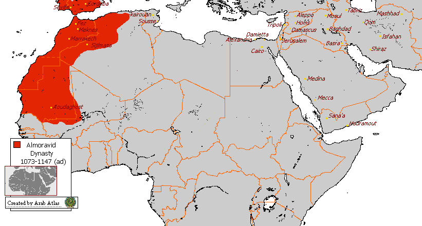
| Description | Morocco Almoravid in its Greatest Extent |
| Date | |
| Source | English wikipedia article (Arab Atlas) |
| Author | Vispec |
Licensing[edit]
| This file is licensed under the Creative Commons Attribution-Share Alike 3.0 Unported license. Subject to disclaimers. | ||
| ||
| This licensing tag was added to this file as part of the GFDL licensing update. |

|
Permission is granted to copy, distribute and/or modify this document under the terms of the GNU Free Documentation License, Version 1.2 or any later version published by the Free Software Foundation; with no Invariant Sections, no Front-Cover Texts, and no Back-Cover Texts. A copy of the license is included in the section entitled GNU Free Documentation License. Subject to disclaimers. |
File history
Click on a date/time to view the file as it appeared at that time.
| Date/Time | Thumbnail | Dimensions | User | Comment | |
|---|---|---|---|---|---|
| current | 11:31, 2 February 2018 | | 821 × 440 (35 KB) | Maphobbyist (talk | contribs) | Check |
| 20:08, 1 February 2018 |  | 821 × 440 (35 KB) | Maphobbyist (talk | contribs) | Modern borders of Turkey, because Hatay Province is part of Turkey since 1939 and borders of South Sudan which became independent in 2011. | |
| 08:16, 17 June 2008 |  | 821 × 440 (36 KB) | CHV (talk | contribs) | ||
| 13:45, 24 November 2007 |  | 821 × 440 (36 KB) | Vispec (talk | contribs) | {{Information |Description=Morocco Almoravid in its Greatest Extent |Source=English wikipedia article |Date=24 November 2007 |Author=Vispec |Permission=see below |other_versions= }} |
You cannot overwrite this file.
File usage on Commons
The following 2 pages use this file:
File usage on other wikis
The following other wikis use this file:
- Usage on ar.wikipedia.org
- Usage on incubator.wikimedia.org
- Usage on nl.wikipedia.org