File:Almunge (OpenStreetMap;Mapnik).png
Jump to navigation
Jump to search

Size of this preview: 800 × 530 pixels. Other resolutions: 320 × 212 pixels | 640 × 424 pixels | 872 × 578 pixels.
Original file (872 × 578 pixels, file size: 218 KB, MIME type: image/png)
Captions
Captions
Add a one-line explanation of what this file represents
| Description |
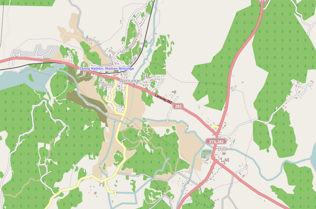
Svenska: Mapnik karta över Almunge, Uppland, Svergie
English: Mapnik render of Almunge, Uppland, Sweden |
| Date | |
| Source | OpenStreetMap |
| Author | Frank Eriksson / OpenStreetMap contributors |
| Permission (Reusing this file) |
This file is licensed under the Creative Commons Attribution-Share Alike 2.0 Generic license. Attribution: © OpenStreetMap contributors, CC-BY-SA
|
| Camera location | | View this and other nearby images on: OpenStreetMap |
|---|
.png¶ms=059.875278_N_0018.049944_E_globe:Earth_type:camera__&language=en)
File history
Click on a date/time to view the file as it appeared at that time.
| Date/Time | Thumbnail | Dimensions | User | Comment | |
|---|---|---|---|---|---|
| current | 14:19, 24 July 2010 | | 872 × 578 (218 KB) | Knarf.se (talk | contribs) | {{Information |Description={{sv|Mapnik karta över Almunge, Uppland, Svergie}} {{en|Mapnik render of Almunge, Uppland, Sweden}} |Source=[http://www.openstreetmap.org/ OpenStreetMap] |Date=2010-07-24 |Author=Frank Eriksson / OpenS |
You cannot overwrite this file.
File usage on Commons
The following page uses this file:
File usage on other wikis
The following other wikis use this file:
- Usage on ceb.wikipedia.org
- Usage on lld.wikipedia.org
- Usage on nl.wikipedia.org
- Usage on sv.wikipedia.org
- Usage on www.wikidata.org
.png&oldid=789526691)