File:Armenia provinces blank.png
Jump to navigation
Jump to search
Size of this preview: 594 × 600 pixels. Other resolutions: 238 × 240 pixels | 475 × 480 pixels | 761 × 768 pixels | 1,014 × 1,024 pixels | 2,000 × 2,019 pixels.
Original file (2,000 × 2,019 pixels, file size: 22 KB, MIME type: image/png)
Captions
Captions
Add a one-line explanation of what this file represents
Summary[edit]
| Description |
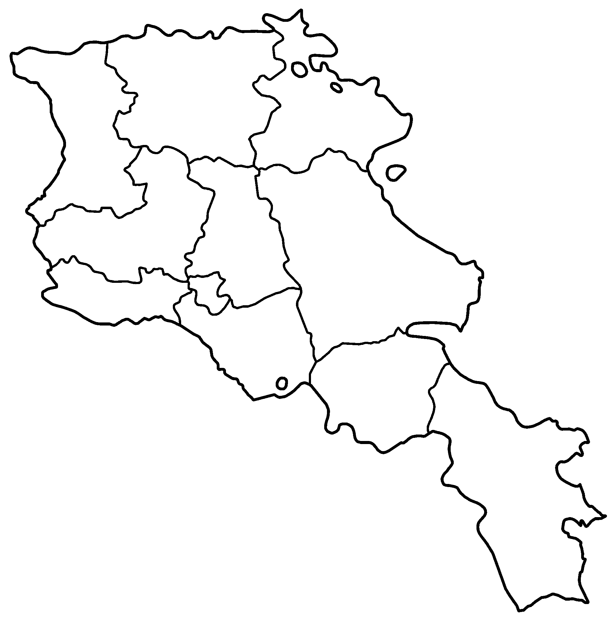
Blank map of the provinces of Armenia, useful for numbering/labelling in other languages. This is high resolution but not 100% accurate; it is traced from other, PD maps, and the little lines and curves and such should not be considered authoritative. It is useful for making simple locator maps, which is what it was made for. Made by User:Golbez. |
| Date | 30 December 2005 (original upload date) |
| Source | No machine-readable source provided. Own work assumed (based on copyright claims). |
| Author | No machine-readable author provided. Golbez assumed (based on copyright claims). |
Licensing[edit]
I, the copyright holder of this work, hereby publish it under the following licenses:

|
Permission is granted to copy, distribute and/or modify this document under the terms of the GNU Free Documentation License, Version 1.2 or any later version published by the Free Software Foundation; with no Invariant Sections, no Front-Cover Texts, and no Back-Cover Texts. A copy of the license is included in the section entitled GNU Free Documentation License. |
| This file is licensed under the Creative Commons Attribution-Share Alike 3.0 Unported license. | ||
| ||
| This licensing tag was added to this file as part of the GFDL licensing update. |
This file is licensed under the Creative Commons Attribution 2.5 Generic license.
- You are free:
- to share – to copy, distribute and transmit the work
- to remix – to adapt the work
- Under the following conditions:
- attribution – You must give appropriate credit, provide a link to the license, and indicate if changes were made. You may do so in any reasonable manner, but not in any way that suggests the licensor endorses you or your use.
You may select the license of your choice.
File history
Click on a date/time to view the file as it appeared at that time.
| Date/Time | Thumbnail | Dimensions | User | Comment | |
|---|---|---|---|---|---|
| current | 04:06, 30 December 2005 | | 2,000 × 2,019 (22 KB) | Golbez (talk | contribs) | Blank map of the provinces of Armenia, useful for numbering/labelling in other languages. This is high resolution but ''not'' 100% accurate; it is traced from other, PD maps, and the little lines and curves and such should not be considered authoritative. |
You cannot overwrite this file.
File usage on Commons
The following page uses this file:
File usage on other wikis
The following other wikis use this file:
- Usage on fa.wikipedia.org