File:Asodaiseki area map.svg
Jump to navigation
Jump to search

Size of this PNG preview of this SVG file: 459 × 372 pixels. Other resolutions: 296 × 240 pixels | 592 × 480 pixels | 948 × 768 pixels | 1,264 × 1,024 pixels | 2,527 × 2,048 pixels.
Original file (SVG file, nominally 459 × 372 pixels, file size: 250 KB)
Captions
Captions
Add a one-line explanation of what this file represents
Summary[edit]
| Description |
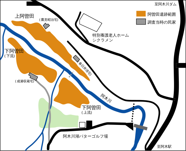
English: Asoda archaeological site. Agi Nakatsugawa, Gifu Pref., Japan.
日本語: 阿曽田遺跡 (岐阜県中津川市阿木) |
| Date | |
| Source | Own work |
| Author | takami torao (Koiroha (talk) 10:12, 5 September 2010 (UTC)) |
Licensing[edit]
| I, the copyright holder of this work, release this work into the public domain. This applies worldwide. In some countries this may not be legally possible; if so: I grant anyone the right to use this work for any purpose, without any conditions, unless such conditions are required by law. |
File history
Click on a date/time to view the file as it appeared at that time.
| Date/Time | Thumbnail | Dimensions | User | Comment | |
|---|---|---|---|---|---|
| current | 10:12, 5 September 2010 | | 459 × 372 (250 KB) | Koiroha (talk | contribs) | {{Information |Description={{en|1=Area of Asoda archaeological site. Agi Nakatsugawa, Gifu Pref., Japan.}} {{ja|1=阿曽田遺跡の範囲 (岐阜県中津川市阿木)}} |Source={{own}} |Author=takami torao (~~~~) |Date=2010-09-05 |Permission= |other_ver |
You cannot overwrite this file.
File usage on Commons
The following 2 pages use this file: