File:BART system map effective December 16, 1995.png
Original file (961 × 1,024 pixels, file size: 2.38 MB, MIME type: image/png)
Captions
Captions
Summary
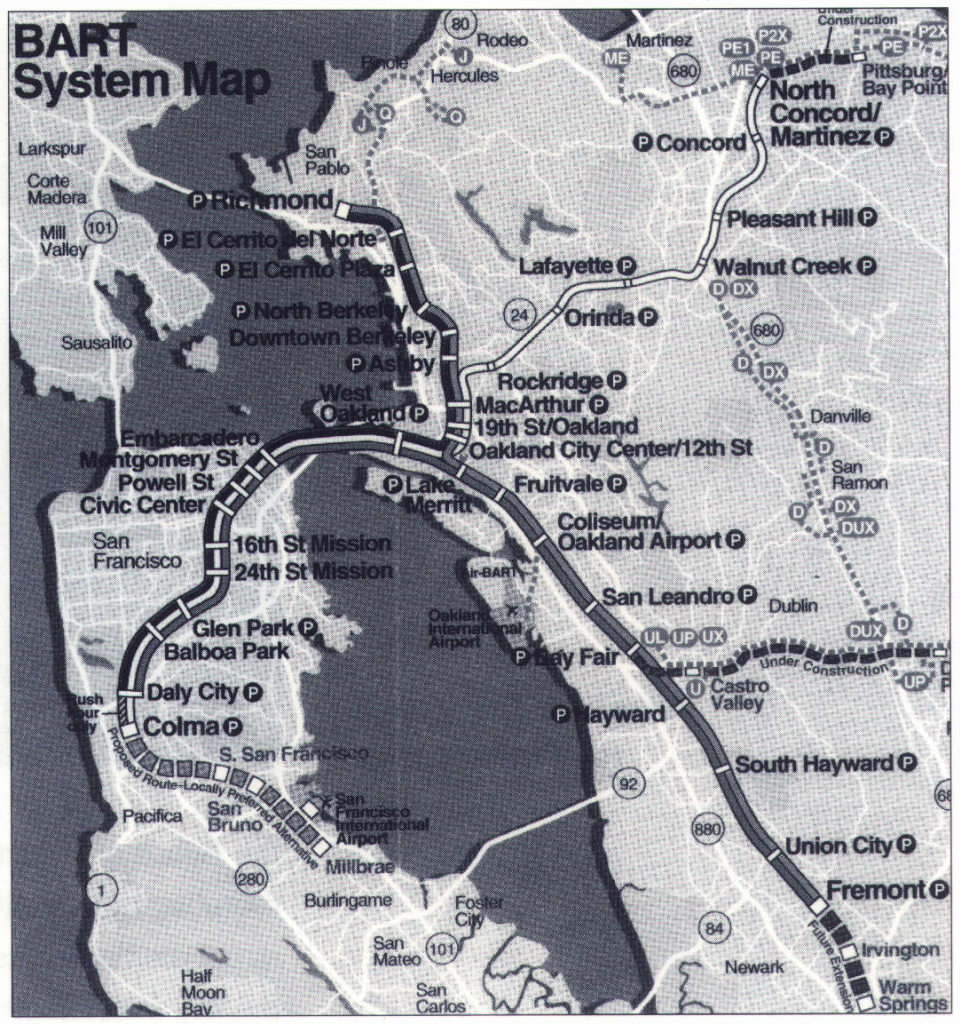
[edit]| Description |
English: BART system map effective December 16, 1995 (the opening of the North Concord/Martinez station) |
|||
| Date | ||||
| Source | Scanned version from Access Magazine | |||
| Author | San Francisco Bay Area Rapid Transit District | |||
| Permission (Reusing this file) |
|

File history
Click on a date/time to view the file as it appeared at that time.
| Date/Time | Thumbnail | Dimensions | User | Comment | |
|---|---|---|---|---|---|
| current | 06:37, 6 March 2018 | | 961 × 1,024 (2.38 MB) | Pi.1415926535 (talk | contribs) | {{Information |description ={{en|1=BART system map effective December 16, 1995 (the opening of the North Concord/Martinez station)}} |source =Scanned version from [https://www.accessmagazine.org/fall-1996/transit-villages-tools-for-revitalizing-the-inner-city/ Access Magazine] |author =San Francisco Bay Area Rapid Transit District |date =1995-12-16 |permission ={{PD-CAGov}} }} Category:BART in 1995 Category:1995 maps 19951216 |
You cannot overwrite this file.
File usage on Commons
The following 4 pages use this file: