File:Bare stones, vegetated silts out where current checked. Upper Neuadd 1976.jpg
Jump to navigation
Jump to search
Size of this preview: 800 × 517 pixels. Other resolutions: 320 × 207 pixels | 640 × 414 pixels | 1,024 × 662 pixels | 1,500 × 970 pixels.
Original file (1,500 × 970 pixels, file size: 231 KB, MIME type: image/jpeg)
Captions
Captions
Add a one-line explanation of what this file represents
Summary[edit]
| Description |
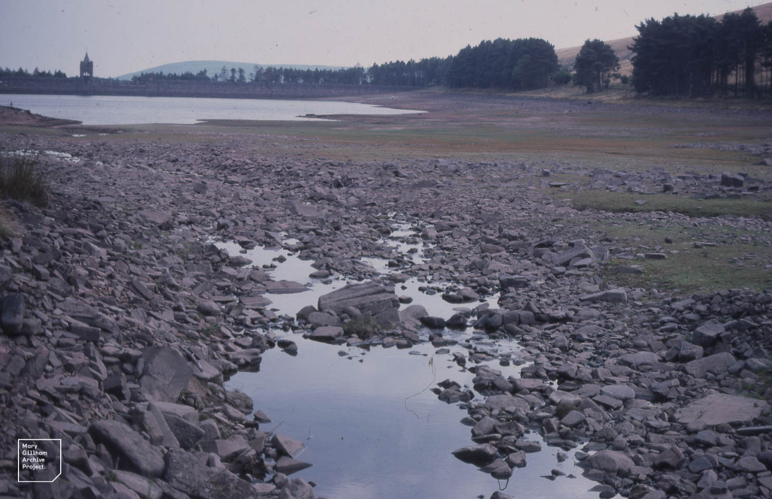
English: Upper Neuadd. Drought 1976 |
| Date | |
| Source | https://www.flickr.com/photos/marygillhamarchiveproject/34672205195/ |
| Author | Dr Mary Gillham Archive Project |
| Camera location | | View this and other nearby images on: OpenStreetMap |
|---|
Licensing[edit]
This file is licensed under the Creative Commons Attribution 2.0 Generic license.
- You are free:
- to share – to copy, distribute and transmit the work
- to remix – to adapt the work
- Under the following conditions:
- attribution – You must give appropriate credit, provide a link to the license, and indicate if changes were made. You may do so in any reasonable manner, but not in any way that suggests the licensor endorses you or your use.
| This image was originally posted to Flickr by Mary Gillham Archive Project at https://flickr.com/photos/139791896@N06/34672205195. It was reviewed on 11 November 2020 by FlickreviewR 2 and was confirmed to be licensed under the terms of the cc-by-2.0. |
File history
Click on a date/time to view the file as it appeared at that time.
| Date/Time | Thumbnail | Dimensions | User | Comment | |
|---|---|---|---|---|---|
| current | 20:51, 10 November 2020 | | 1,500 × 970 (231 KB) | Blythwood (talk | contribs) | Uploaded a work by Dr Mary Gillham Archive Project from https://www.flickr.com/photos/marygillhamarchiveproject/34672205195/ with UploadWizard |
You cannot overwrite this file.
File usage on Commons
The following page uses this file: