File:Beim 366 km langen Neckartalradweg, Rottweil - panoramio.jpg
Jump to navigation
Jump to search

Size of this preview: 800 × 398 pixels. Other resolutions: 320 × 159 pixels | 640 × 318 pixels | 1,024 × 509 pixels | 1,280 × 636 pixels | 2,560 × 1,273 pixels | 4,571 × 2,273 pixels.
Original file (4,571 × 2,273 pixels, file size: 4.63 MB, MIME type: image/jpeg)
Captions
Captions
Add a one-line explanation of what this file represents
Summary[edit]
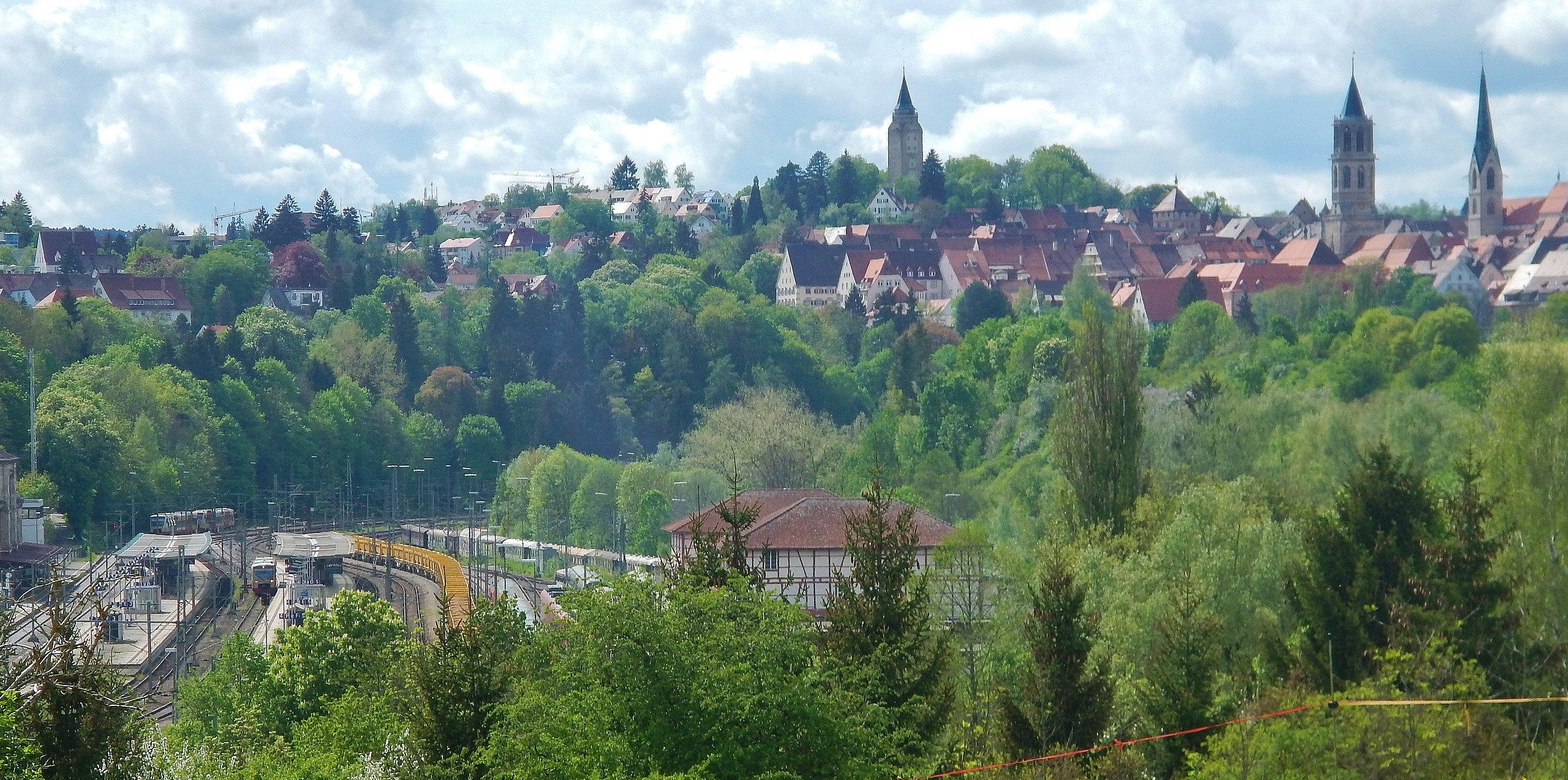
| Description | Beim 366 km langen Neckartalradweg: Rottweil | ||
| Date | Taken on 9 May 2015 | ||
| Source | https://web.archive.org/web/20161031233812/http://www.panoramio.com/photo/119440923 | ||
| Author | qwesy qwesy | ||
| Permission (Reusing this file) |
This file is licensed under the Creative Commons Attribution 3.0 Unported license. Attribution: qwesy qwesy
|
||
| Panoramio Tags | Rottweil, 2015, Baden-Württemberg, best, Deutschland, Dietingen, Rottweil |
| Camera location | | View this and other nearby images on: OpenStreetMap |
|---|
File history
Click on a date/time to view the file as it appeared at that time.
| Date/Time | Thumbnail | Dimensions | User | Comment | |
|---|---|---|---|---|---|
| current | 00:04, 10 June 2017 | | 4,571 × 2,273 (4.63 MB) | Panoramio upload bot (talk | contribs) | == {{int:filedesc}} == {{Information |description=Beim 366 km langen Neckartalradweg: Rottweil |date={{Taken on|2015-05-09}} |source=http://www.panoramio.com/photo/119440923 |author=[http://www.panoramio.com/user/596286?with_photo_id=119440923 qwesy qw... |
You cannot overwrite this file.
File usage on Commons
There are no pages that use this file.