File:Bezirk Appenzell.png

Original file (1,160 × 810 pixels, file size: 896 KB, MIME type: image/png)
Captions
Captions
Summary[edit]
| Description |
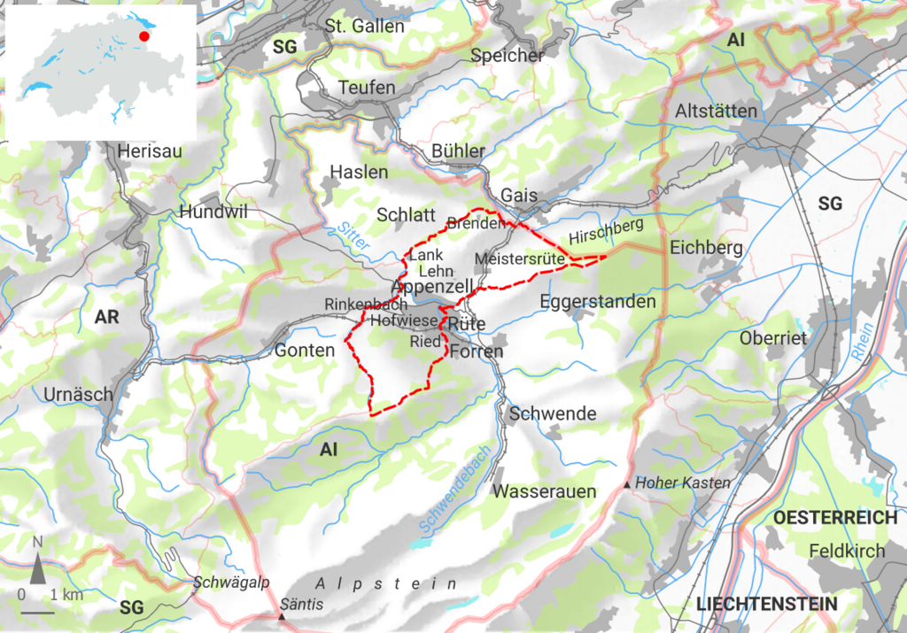
Deutsch: Gebiet des Bezirks Appenzell |
| Date | |
| Source | Historisches Lexikon der Schweiz (HLS) |
| Author | HLS |
Licensing[edit]
- You are free:
- to share – to copy, distribute and transmit the work
- to remix – to adapt the work
- Under the following conditions:
- attribution – You must give appropriate credit, provide a link to the license, and indicate if changes were made. You may do so in any reasonable manner, but not in any way that suggests the licensor endorses you or your use.
- share alike – If you remix, transform, or build upon the material, you must distribute your contributions under the same or compatible license as the original.
Die Geodaten stammen vom Bundesamt für Statistik, von Swisstopo und von OpenStreetMap:
The data made publicly available by swisstopo may be used, distributed and made accessible. Furthermore, they may be enriched and processed and also used commercially. A reference to the source is mandatory. In the case of digital or analogue representations and publications, as well as in the case of dissemination, one of the following source references must be attached in any case:
Terms of use for free geodata and geoservices (OGD) from swisstopo
|
.svg) |
| Description |
This map of dem Bezirk Appenzell was created from OpenStreetMap project data, collected by the community. This map may be incomplete, and may contain errors. Don't rely solely on it for navigation. |
|||
| Date | ||||
| Source | openstreetmap.org | |||
| Creator |
OpenStreetMap contributors |
|||
| Permission (Reusing this file) |
OpenStreetMap data is available under the Open Database License (details). Standard style map tiles are licensed as ODbL Produced Works.
|
|||
| Georeferencing | If inappropriate please set warp_status = skip to hide. |
File history
Click on a date/time to view the file as it appeared at that time.
| Date/Time | Thumbnail | Dimensions | User | Comment | |
|---|---|---|---|---|---|
| current | 11:39, 6 December 2023 | | 1,160 × 810 (896 KB) | Plutowiki (talk | contribs) | Uploaded own work with UploadWizard |
You cannot overwrite this file.
File usage on Commons
There are no pages that use this file.
File usage on other wikis
The following other wikis use this file:
- Usage on de.wikipedia.org