File:Blank Iowa county map with county names.svg
Jump to navigation
Jump to search

Size of this PNG preview of this SVG file: 776 × 600 pixels. Other resolutions: 311 × 240 pixels | 621 × 480 pixels | 994 × 768 pixels | 1,280 × 989 pixels | 2,560 × 1,978 pixels | 792 × 612 pixels.
Original file (SVG file, nominally 792 × 612 pixels, file size: 291 KB)
Captions
Captions
Add a one-line explanation of what this file represents
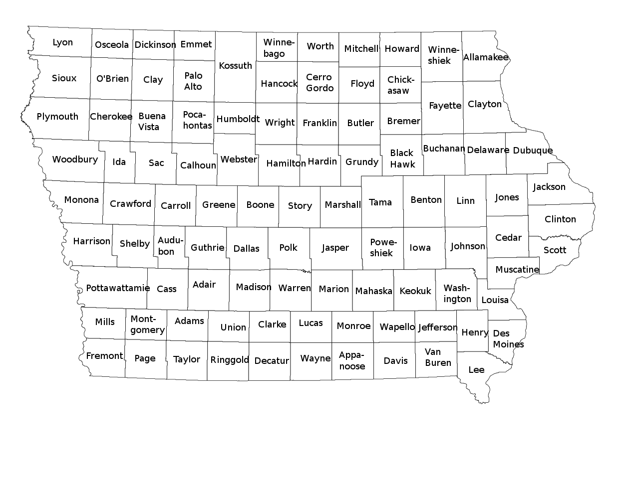
| Description | A blank map of Iowa showing county borders and county names. | ||
| Date | |||
| Source |
Own work, This vector image includes elements that have been taken or adapted from this file: |
||
| Author | Philosopher. | ||
| Permission (Reusing this file) |
I, the copyright holder of this work, hereby publish it under the following licenses: This file is licensed under the Creative Commons Attribution-Share Alike 3.0 Unported license.
You may select the license of your choice. |
||
| Other versions | File:Blank Iowa county map.svg for a similar SVG version without county names. |

File history
Click on a date/time to view the file as it appeared at that time.
| Date/Time | Thumbnail | Dimensions | User | Comment | |
|---|---|---|---|---|---|
| current | 08:46, 27 September 2020 | | 792 × 612 (291 KB) | DemonDays64 (talk | contribs) | Fix misspelling of "Harrison" as "Harriosn" |
| 23:39, 26 January 2015 |  | 792 × 612 (291 KB) | Philosopher (talk | contribs) | {{Information |Description=A blank map of Iowa showing county borders and county names. |Source={{own}}, {{AttribSVG|1=NRHP Iowa Map.svg|2=25or6to4}} |Date=2015-01-26 |Author=Philosopher. |Permission={{self|cc-by-sa-3.0|GFDL}} |oth... |
You cannot overwrite this file.
File usage on Commons
The following 2 pages use this file:
File usage on other wikis
The following other wikis use this file:
- Usage on da.wikipedia.org
- Usage on fi.wikipedia.org