File:Blois (Loir-et-Cher) (8386740080).jpg
Original file (4,928 × 3,264 pixels, file size: 4.83 MB, MIME type: image/jpeg)
Captions
Captions
Summary[edit]
_(8386740080).jpg&action=edit§ion=1)
| Description |
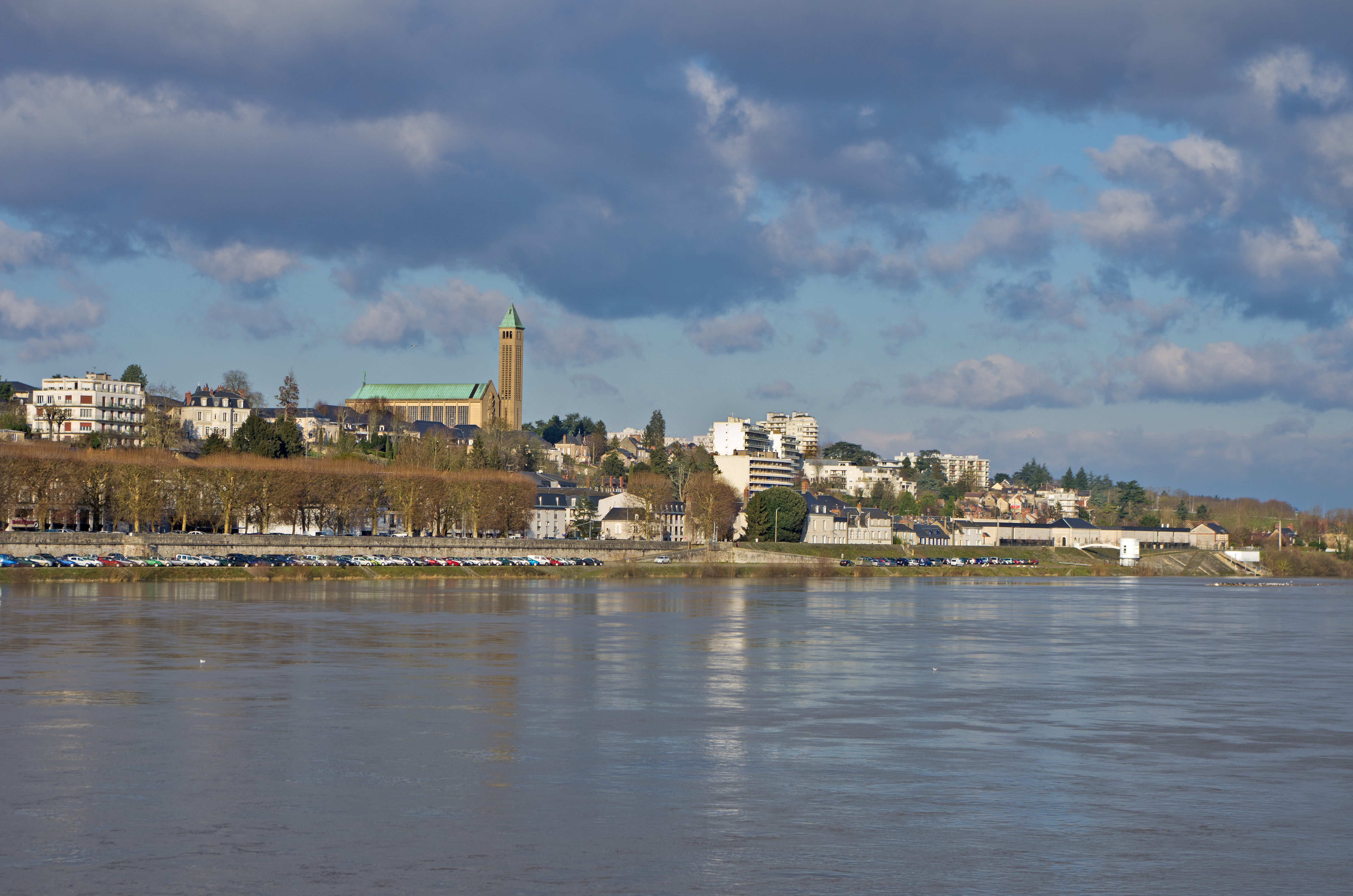
Basilique Notre-Dame de la Trinité. Le Père Jean-Baptiste, capucin de Blois obtient de l’évêque de Blois, en 1917, la fondation d’une association qui devient après sa mort en 1918 l’archiconfrérie des Trois Ave Maria, approuvée par le pape Benoît XV. En 1931, l’archiconfrérie décide d’ériger une église. Le projet est confié à Charles-Henri Besnard (1881-1946), architecte en chef des monuments historiques. Il propose d’élever une église en béton et briques rouges. Mais des difficultés entraîneront l’arrêt du chantier en 1934. L'architecte Paul Rouvière (1906-1939) hérite alors du chantier. Le projet proposé par Paul Rouvière reprend la superstructure créée précédemment. Important centre de pèlerinage, la basilique qui présente une grande homogénéité architecturale est considérée comme un édifice majeur de l’art sacré de l’entre-deux-guerres. Basilica of Our Lady of the Trinity. Father Jean-Baptiste de Blois gets Capuchin bishop of Blois, in 1917, the founding of an association which becomes after his death in 1918 Three of the Archconfraternity Ave Maria, approved by Pope Benedict XV. In 1931, the Archconfraternity decided to build a church. The project was entrusted to Charles-Henri Besnard (1881-1946), chief architect of historic monuments. It proposes to build a church in red brick and concrete. But difficulties result in the shutdown of the site in 1934. The architect Paul Rouvière (1906-1939) inherited the site. The project proposed by Paul Rouvière resumes superstructure created earlier. Important center of pilgrimage, the basilica has a great architectural homogeneity is considered a major building of the sacred art of the period between the two world wars. |
| Date | Taken on 15 January 2013, 16:08 |
| Source | Blois (Loir-et-Cher) |
| Author | Daniel Jolivet |
| Camera location | | View this and other nearby images on: OpenStreetMap |
|---|
_(8386740080).jpg¶ms=047.594197_N_0001.342241_E_globe:Earth_type:camera_source:Flickr_&language=en)
Licensing[edit]
_(8386740080).jpg&action=edit§ion=2)
- You are free:
- to share – to copy, distribute and transmit the work
- to remix – to adapt the work
- Under the following conditions:
- attribution – You must give appropriate credit, provide a link to the license, and indicate if changes were made. You may do so in any reasonable manner, but not in any way that suggests the licensor endorses you or your use.
| This image was originally posted to Flickr by sybarite48 at https://flickr.com/photos/26082117@N07/8386740080 (archive). It was reviewed on 16 November 2017 by FlickreviewR 2 and was confirmed to be licensed under the terms of the cc-by-2.0. |
File history
Click on a date/time to view the file as it appeared at that time.
| Date/Time | Thumbnail | Dimensions | User | Comment | |
|---|---|---|---|---|---|
| current | 15:50, 16 November 2017 | | 4,928 × 3,264 (4.83 MB) | Thesupermat2 (talk | contribs) | Transferred from Flickr via Flickr2Commons |
You cannot overwrite this file.
File usage on Commons
There are no pages that use this file.
_(8386740080).jpg&oldid=826574392)