File:Bodleian Libraries, Oxfordshire sheet XXXIII, 1876.jpg
Original file (1,000 × 675 pixels, file size: 135 KB, MIME type: image/jpeg)
Captions
Captions
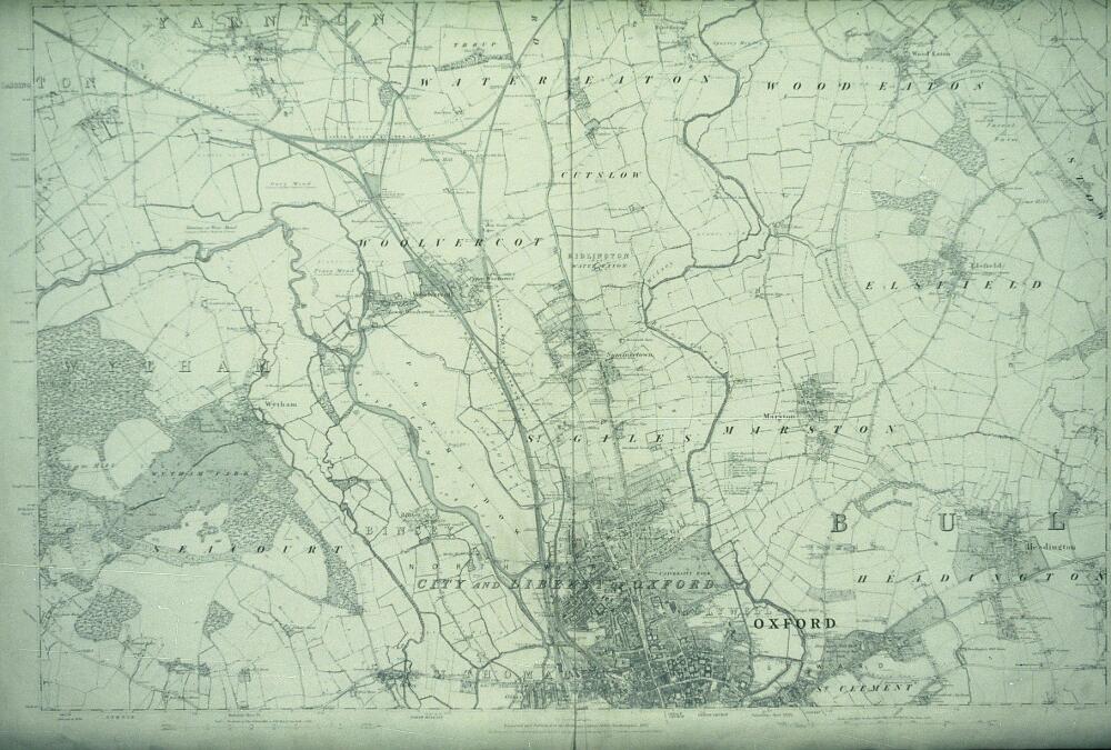
Summary[edit]
| [Oxfordshire sheet XXXIII, 1876 ]-Ordnance Survey County Series 6-inch first edition | ||||||
|---|---|---|---|---|---|---|
| Artist |
Ordnance Survey [cartographer] |
|||||
| Title |
[Oxfordshire sheet XXXIII, 1876 ]-Ordnance Survey County Series 6-inch first edition |
|||||
| Description |
Ordnance Survey 6 inch map, 1st edition; scale 1: 10,560, covering the city of Oxford and an area north to Yarnton and Elsfield |
|||||
| Date | 1887 | |||||
| Dimensions | 35mm slide | |||||
| Accession number |
Oxfordshire sheet 33 |
|||||
| Place of creation | Southampton (England): Ordnance Survey | |||||
| Notes | Filmstrip Roll 221.1, frame 21; Source filename: mapsxx003-ajk-0001-0 | |||||
| Source/Photographer |
|
|||||
| Permission (Reusing this file) |
|
|||||
File history
Click on a date/time to view the file as it appeared at that time.
| Date/Time | Thumbnail | Dimensions | User | Comment | |
|---|---|---|---|---|---|
| current | 18:43, 26 February 2016 | | 1,000 × 675 (135 KB) | MartinPoulter (talk | contribs) | GWToolset: Creating mediafile for MartinPoulter. Bulk upload of Maps collection from Digital Bodleian |
You cannot overwrite this file.
File usage on Commons
The following page uses this file: