File:Bouches-du-Rhône department location map.jpg
Jump to navigation
Jump to search
Size of this preview: 800 × 529 pixels. Other resolutions: 320 × 212 pixels | 640 × 423 pixels | 1,024 × 677 pixels | 1,451 × 960 pixels.
Original file (1,451 × 960 pixels, file size: 194 KB, MIME type: image/jpeg)
Captions
Captions
Add a one-line explanation of what this file represents
Summary[edit]
| Camera location | | View this and other nearby images on: OpenStreetMap |
|---|
| Description |
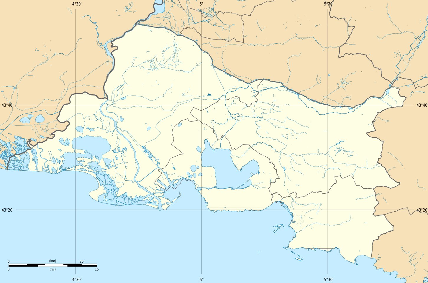
Français : Carte administrative vierge des Bouches-du-Rhône, destinée à la géolocalisation, avec des frontières distinctes pour la région, les départements et les arrondissements.
Deutsch: Positionskarte von Bouches-du-Rhône
English: Blank map of the department of Bouches-du-Rhône, France, for geo-location purpose, with distinct boundaries for regions, departments and arrondissements.
Español: Mapa administrativo de las Bocas del Ródano
Italiano: Carta amministrativa delle Bocche del Rodano
日本語: ブーシュ=デュ=ローヌ県の行政地図
Português: Carta da administração das Bocas do Ródano
|
||
| Date | (UTC) | ||
| Source |
Création personnelle ;
|
||
| Author | Bourrichon (talk) - fr:Bourrichon | ||
| Permission (Reusing this file) |
|
||
| Other versions |
|

Licensing[edit]
I, the copyright holder of this work, hereby publish it under the following licenses:

|
Permission is granted to copy, distribute and/or modify this document under the terms of the GNU Free Documentation License, Version 1.2 or any later version published by the Free Software Foundation; with no Invariant Sections, no Front-Cover Texts, and no Back-Cover Texts. A copy of the license is included in the section entitled GNU Free Documentation License. |
This file is licensed under the Creative Commons Attribution-Share Alike 3.0 Unported, 2.5 Generic, 2.0 Generic and 1.0 Generic license.
- You are free:
- to share – to copy, distribute and transmit the work
- to remix – to adapt the work
- Under the following conditions:
- attribution – You must give appropriate credit, provide a link to the license, and indicate if changes were made. You may do so in any reasonable manner, but not in any way that suggests the licensor endorses you or your use.
- share alike – If you remix, transform, or build upon the material, you must distribute your contributions under the same or compatible license as the original.
You may select the license of your choice.
File history
Click on a date/time to view the file as it appeared at that time.
| Date/Time | Thumbnail | Dimensions | User | Comment | |
|---|---|---|---|---|---|
| current | 10:26, 18 August 2011 | | 1,451 × 960 (194 KB) | Bourrichon (talk | contribs) | petite correction rivière |
| 09:33, 18 August 2011 |  | 1,451 × 960 (193 KB) | Bourrichon (talk | contribs) | == {{int:filedesc}} == {{Location|43|30|00|N|05|10|00|E|scale:500000}} {{Information |Description= {{fr|Carte administrative vierge des Bouches-du-Rhône, destinée à la géolocalisation, avec des frontières distinctes pour la |
You cannot overwrite this file.
File usage on Commons
The following page uses this file:
File usage on other wikis
The following other wikis use this file:
- Usage on de.wikipedia.org
- Brücke von Langlois
- Cosquer-Höhle
- Stade Vélodrome
- Alter Hafen (Marseille)
- Wikipedia:Kartenwerkstatt/Positionskarten/Europa
- Pont Flavien
- Marseille Europort
- Stade Parsemain
- Stade Francis-Turcan
- Stade Fernand-Fournier
- Vorlage:Positionskarte Frankreich Bouches-du-Rhône
- Zoo La Barben
- Militärflugplatz Salon-de-Provence
- Tour La Marseillaise
- Usage on eo.wikipedia.org
- Marseille-Saint-Charles (stacidomo)
- Ŝablono:Situo sur mapo Francio Bouches-du-Rhône
- Marignane
- Miramas
- Stadiono Velodroma
- La Barben
- Cabriès
- Cadolive
- Carnoux-en-Provence
- Charleval (Bouches-du-Rhône)
- Carry-le-Rouet
- Aix-en-Provence TGV (stacidomo)
- Aix-en-Provence (stacidomo)
- Arles (stacidomo)
- Saint-Louis-les Aygalades (stacidomo)
- Miramas (stacidomo)
- Marseille-Blancarde (stacidomo)
- Marseille-Prado (stacidomo)
- La Pomme (stacidomo)
- L'Estaque (stacidomo)
- La Barasse (stacidomo)
- Marseille-Maritime-Canet (stacidomo)
- Arenc-Euroméditerranée (stacidomo)
- Marseille-Maritime-Arenc (stacidomo)
- Saint-Marcel (stacidomo)
- Sainte-Marthe-en-Provence (stacidomo)
- Saint-Antoine (stacidomo)
- Séon-Saint-Henri (stacidomo)
- Picon-Busserine (stacidomo)
- Saint-Barthélémy (stacidomo)
- Saint-Joseph-le-Castellas (stacidomo)
- Vitrolles-Aéroport-Marseille-Provence (stacidomo)
- Aubagne (stacidomo)
- Berre (stacidomo)
- Carry-le-Rouet (stacidomo)
- Cassis (stacidomo)
View more global usage of this file.