File:Boulder County, Colorado until November 15, 2001.svg
Jump to navigation
Jump to search

Size of this PNG preview of this SVG file: 800 × 579 pixels. Other resolutions: 320 × 232 pixels | 640 × 463 pixels | 1,024 × 741 pixels | 1,280 × 926 pixels | 2,560 × 1,852 pixels | 3,117 × 2,255 pixels.
Original file (SVG file, nominally 3,117 × 2,255 pixels, file size: 114 KB)
Captions
Captions
Add a one-line explanation of what this file represents

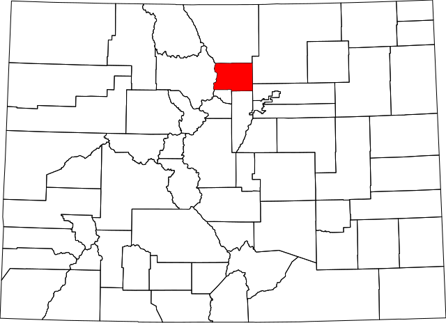
A map of Boulder County, Colorado as it appeared until November 15, 2001, when Broomfield County was created.
This is a simple modification of Image:Colorado counties until November 15, 2001.svg.
| I, the copyright holder of this work, release this work into the public domain. This applies worldwide. In some countries this may not be legally possible; if so: I grant anyone the right to use this work for any purpose, without any conditions, unless such conditions are required by law. |
File history
Click on a date/time to view the file as it appeared at that time.
| Date/Time | Thumbnail | Dimensions | User | Comment | |
|---|---|---|---|---|---|
| current | 21:36, 5 April 2007 | | 3,117 × 2,255 (114 KB) | Augiasstallputzer~commonswiki (talk | contribs) | Setting a srceencompatible size. To print, please download the image and edit the size values in real measures (metric or inch). |
You cannot overwrite this file.
File usage on Commons
There are no pages that use this file.