File:BresterRing XIX-48b in FrzBuchholz 4.jpg
Jump to navigation
Jump to search
Size of this preview: 800 × 600 pixels. Other resolutions: 320 × 240 pixels | 640 × 480 pixels | 1,024 × 768 pixels | 1,280 × 960 pixels | 2,560 × 1,920 pixels | 4,288 × 3,216 pixels.
Original file (4,288 × 3,216 pixels, file size: 6.53 MB, MIME type: image/jpeg)
Captions
Captions
Add a one-line explanation of what this file represents
Summary[edit]
| Description |
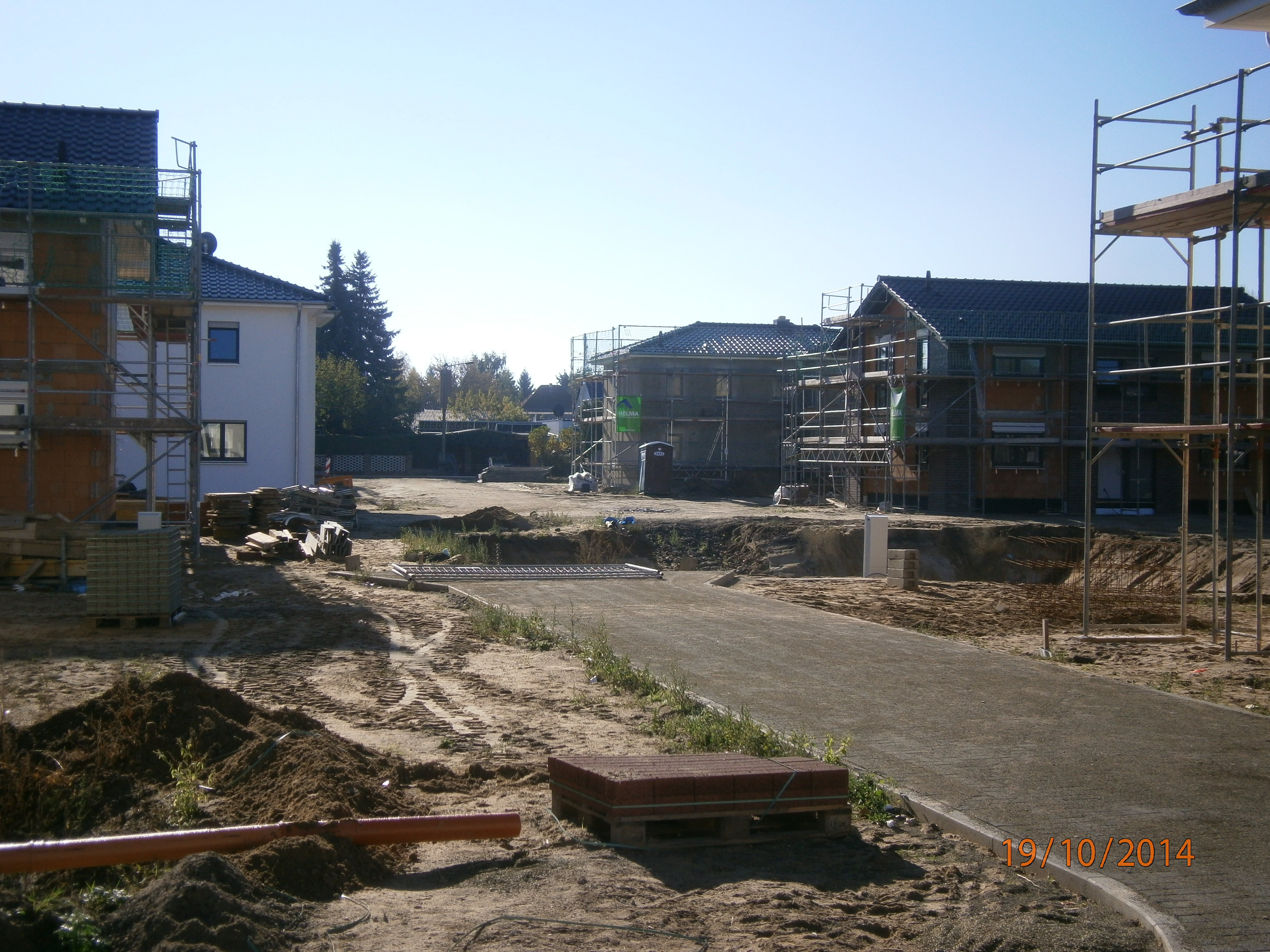
Deutsch: Der Brester Ring ist eine Straße im Berliner Bezirk Pankow, Ortsteil Französisch Buchholtz. Die Straße wurde 2014 neu benannt und gewidmet. Sie wird mit einer Eigenheimsiedlung auf einem Gelände des ehemaligen Gärtnereiunternehmens entsprechend dem Bebauungsplan XIX-48b errichtet. Der Brester Ring gehört zum 1. Bauabschnitt und erschließt die Neubahäuser westlich der Nizzastraße. Zunächst als Zufahrtstraße für den Bau wird die Straße mit ihren Nebentrassen Ende 2014 zunehmend ausgebaut. |
| Date | |
| Source | Own work |
| Author | Boonekamp |
Licensing[edit]
I, the copyright holder of this work, hereby publish it under the following license:
This file is licensed under the Creative Commons Attribution-Share Alike 4.0 International license.
- You are free:
- to share – to copy, distribute and transmit the work
- to remix – to adapt the work
- Under the following conditions:
- attribution – You must give appropriate credit, provide a link to the license, and indicate if changes were made. You may do so in any reasonable manner, but not in any way that suggests the licensor endorses you or your use.
- share alike – If you remix, transform, or build upon the material, you must distribute your contributions under the same or compatible license as the original.
File history
Click on a date/time to view the file as it appeared at that time.
| Date/Time | Thumbnail | Dimensions | User | Comment | |
|---|---|---|---|---|---|
| current | 12:26, 5 November 2014 | | 4,288 × 3,216 (6.53 MB) | Boonekamp (talk | contribs) | User created page with UploadWizard |
You cannot overwrite this file.
File usage on Commons
There are no pages that use this file.