File:BridgeNo12.jpg
Jump to navigation
Jump to search
No higher resolution available.
BridgeNo12.jpg (640 × 427 pixels, file size: 292 KB, MIME type: image/jpeg)
Captions
Captions
Add a one-line explanation of what this file represents
Summary
[edit]
| Description |
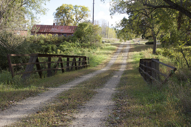
English: Bridge No. 12
|
||
| Date | |||
| Source | Own work | ||
| Author | Jatakuck |
| Camera location | | View this and other nearby images on: OpenStreetMap |
|---|
Licensing
[edit]
I, the copyright holder of this work, hereby publish it under the following license:
This file is licensed under the Creative Commons Attribution-Share Alike 3.0 Unported license.
- You are free:
- to share – to copy, distribute and transmit the work
- to remix – to adapt the work
- Under the following conditions:
- attribution – You must give appropriate credit, provide a link to the license, and indicate if changes were made. You may do so in any reasonable manner, but not in any way that suggests the licensor endorses you or your use.
- share alike – If you remix, transform, or build upon the material, you must distribute your contributions under the same or compatible license as the original.

|
This image was uploaded as part of Wiki Loves Monuments 2012.
|
 |
File history
Click on a date/time to view the file as it appeared at that time.
| Date/Time | Thumbnail | Dimensions | User | Comment | |
|---|---|---|---|---|---|
| current | 12:59, 25 September 2012 | | 640 × 427 (292 KB) | Jatakuck (talk | contribs) | User created page with UploadWizard |
You cannot overwrite this file.
File usage on Commons
There are no pages that use this file.
File usage on other wikis
The following other wikis use this file:
- Usage on de.wikipedia.org
- Usage on en.wikipedia.org
- Usage on www.wikidata.org
Categories:
- National Register of Historic Places in Goodhue County, Minnesota
- Bridges on the National Register of Historic Places in Minnesota
- Road bridges in Minnesota
- Pony truss bridges in Minnesota
- Built in Minnesota in 1908
- 1900s bridges in Minnesota
- Bridges in the United States completed in 1908
- Dirt roads in Minnesota
- Bridges numbered 12
- Country roads in the United States