File:Brightside - Vickers Building.jpg
Jump to navigation
Jump to search

Size of this preview: 784 × 600 pixels. Other resolutions: 314 × 240 pixels | 627 × 480 pixels | 1,004 × 768 pixels | 1,280 × 979 pixels | 2,070 × 1,584 pixels.
Original file (2,070 × 1,584 pixels, file size: 1.65 MB, MIME type: image/jpeg)
Captions
Captions
Add a one-line explanation of what this file represents
Summary[edit]
| Description |
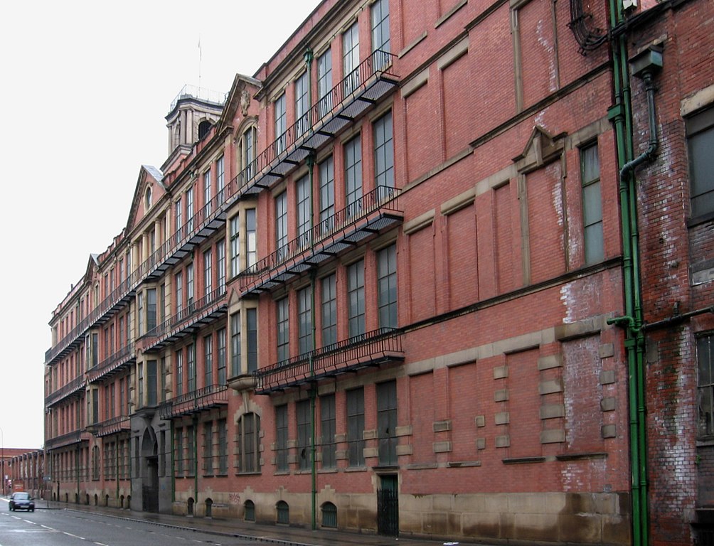
English: Brightside - Vickers Building
|
|
| Date | ||
| Source | Own work | |
| Author | Dave Bevis | |
| Permission (Reusing this file) |
Creative Commons Attribution Share-alike license 2.0 | |
| Other versions |
| Camera location | | View this and other nearby images on: OpenStreetMap |
|---|
Licensing[edit]
This file is licensed under the Creative Commons Attribution-Share Alike 2.0 Generic license.
Attribution: Dave Bevis
- You are free:
- to share – to copy, distribute and transmit the work
- to remix – to adapt the work
- Under the following conditions:
- attribution – You must give appropriate credit, provide a link to the license, and indicate if changes were made. You may do so in any reasonable manner, but not in any way that suggests the licensor endorses you or your use.
- share alike – If you remix, transform, or build upon the material, you must distribute your contributions under the same or compatible license as the original.

File history
Click on a date/time to view the file as it appeared at that time.
| Date/Time | Thumbnail | Dimensions | User | Comment | |
|---|---|---|---|---|---|
| current | 18:33, 15 October 2010 | | 2,070 × 1,584 (1.65 MB) | Davebevis (talk | contribs) | == {{int:filedesc}} == {{Information |Description={{en|1=Brightside - Vickers Building}} |Source=From [http://www.geograph.org.uk/photo/2109207 geograph.org.uk] |Date=2007-05-11 |Author=[http://www.geograph.org.uk/profile/18186 Dave Bevis] |Permission=Cre |
You cannot overwrite this file.
File usage on Commons
The following page uses this file:
File usage on other wikis
The following other wikis use this file:
- Usage on de.wikipedia.org
- Usage on en.wikipedia.org
- Usage on www.wikidata.org