File:Burning Gas - Oil Field - panoramio.jpg
Jump to navigation
Jump to search
Size of this preview: 400 × 600 pixels. Other resolutions: 160 × 240 pixels | 320 × 480 pixels | 512 × 768 pixels | 682 × 1,024 pixels | 1,365 × 2,048 pixels | 3,456 × 5,184 pixels.
Original file (3,456 × 5,184 pixels, file size: 502 KB, MIME type: image/jpeg)
Captions
Captions
Add a one-line explanation of what this file represents
Summary[edit]
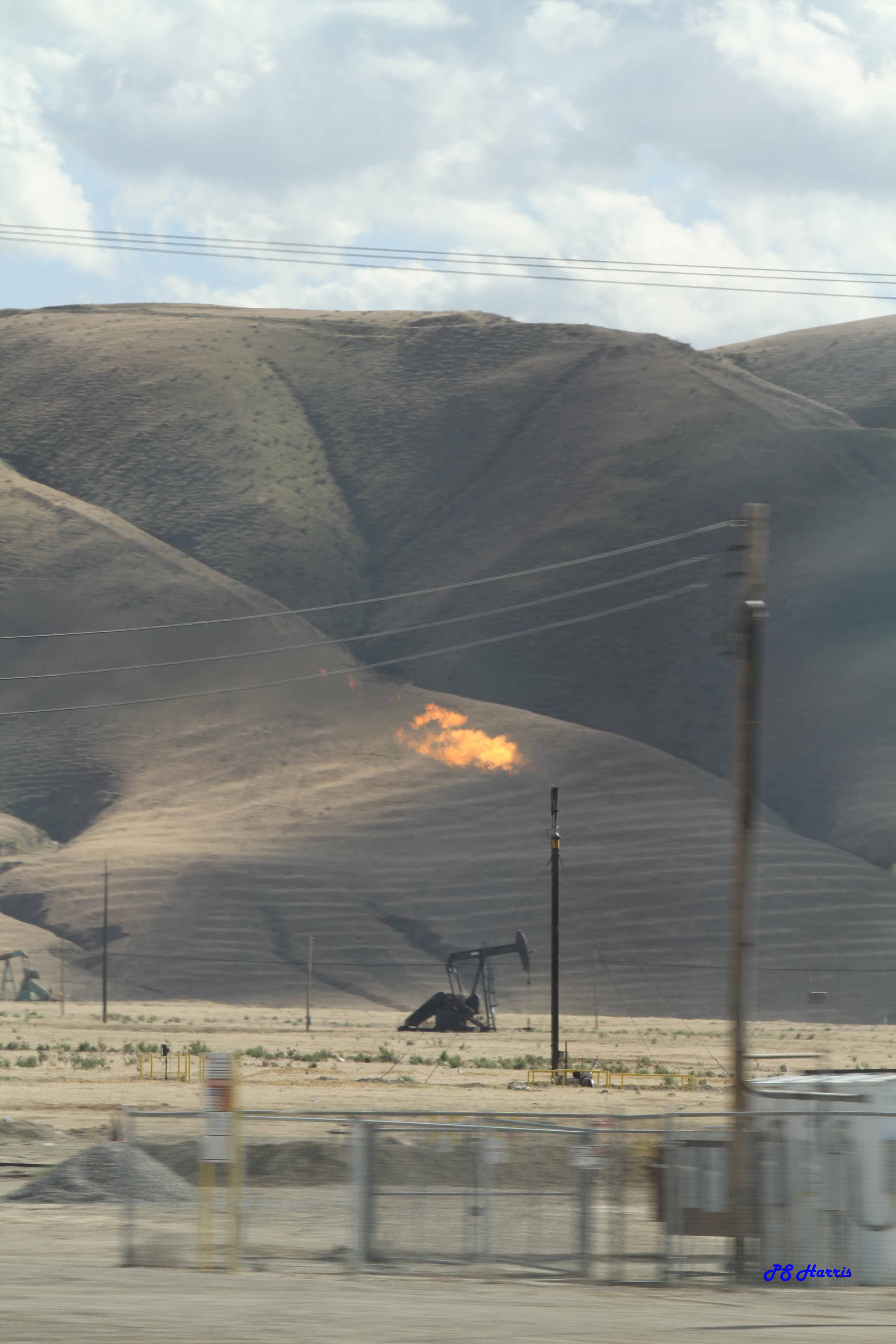
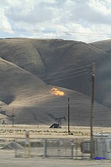
| Description | Burning Gas - Oil Field | ||
| Date | Taken on 16 April 2013 | ||
| Source | https://web.archive.org/web/20161028095503/http://www.panoramio.com/photo/96232074 | ||
| Author | PS Harris | ||
| Permission (Reusing this file) |
This file is licensed under the Creative Commons Attribution-Share Alike 3.0 Unported license. Attribution: PS Harris
|
||
| Tags (from Panoramio photo page) | Kern County, 2013, Aquaduct, CA, California, canal, fire, gas fire, interstate 5, oil, oil field, pump, Rte 5 |
| Camera location | | View this and other nearby images on: OpenStreetMap |
|---|

File history
Click on a date/time to view the file as it appeared at that time.
| Date/Time | Thumbnail | Dimensions | User | Comment | |
|---|---|---|---|---|---|
| current | 03:55, 4 March 2017 | | 3,456 × 5,184 (502 KB) | Panoramio upload bot (talk | contribs) | == {{int:filedesc}} == {{Information |description=Burning Gas - Oil Field |date={{Taken on|2013-04-16}} |source=http://www.panoramio.com/photo/96232074 |author=[http://www.panoramio.com/user/5112781?with_photo_id=96232074 PS Harris] |permission={{cc-by... |
You cannot overwrite this file.
File usage on Commons
There are no pages that use this file.