File:Burt County State Bank from SE 2.JPG
Jump to navigation
Jump to search

Size of this preview: 800 × 549 pixels. Other resolutions: 320 × 220 pixels | 640 × 439 pixels | 1,024 × 703 pixels | 1,280 × 879 pixels | 1,854 × 1,273 pixels.
Original file (1,854 × 1,273 pixels, file size: 829 KB, MIME type: image/jpeg)
Captions
Captions
Add a one-line explanation of what this file represents
|
This is an image of a place or building that is listed on the National Register of Historic Places in the United States of America. Its reference number is 9000068. |
Summary[edit]
| Description |
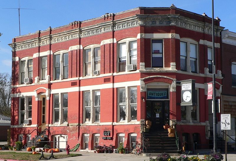
English: Burt County State Bank in Tekaham, Nebraska; seen from the southeast. The building was constructed in 1883; it is listed in the National Register of Historic Places. |
| Date | |
| Source | Own work |
| Author | Ammodramus |
| Object location | | View this and other nearby images on: OpenStreetMap |
|---|
Licensing[edit]
| I, the copyright holder of this work, release this work into the public domain. This applies worldwide. In some countries this may not be legally possible; if so: I grant anyone the right to use this work for any purpose, without any conditions, unless such conditions are required by law. |
File history
Click on a date/time to view the file as it appeared at that time.
| Date/Time | Thumbnail | Dimensions | User | Comment | |
|---|---|---|---|---|---|
| current | 04:12, 31 October 2010 | | 1,854 × 1,273 (829 KB) | Ammodramus (talk | contribs) | {{Information |Description={{en|1={{w|Burt County State Bank}} in {{w|Tekaham, Nebraska}}; seen from the southeast. The building was constructed in 1883; it is listed in the {{w|National Register of Historic Places}}. }} |Source={{own}} |Author=[[User:Am |
You cannot overwrite this file.
File usage on Commons
The following page uses this file:
File usage on other wikis
The following other wikis use this file:
- Usage on de.wikipedia.org
- Usage on en.wikipedia.org
- Usage on www.wikidata.org