File:Capes of Virginia.jpg
Jump to navigation
Jump to search
Size of this preview: 337 × 599 pixels. Other resolutions: 135 × 240 pixels | 270 × 480 pixels | 432 × 768 pixels | 576 × 1,024 pixels | 1,872 × 3,328 pixels.
Original file (1,872 × 3,328 pixels, file size: 1.75 MB, MIME type: image/jpeg)
Captions
Captions
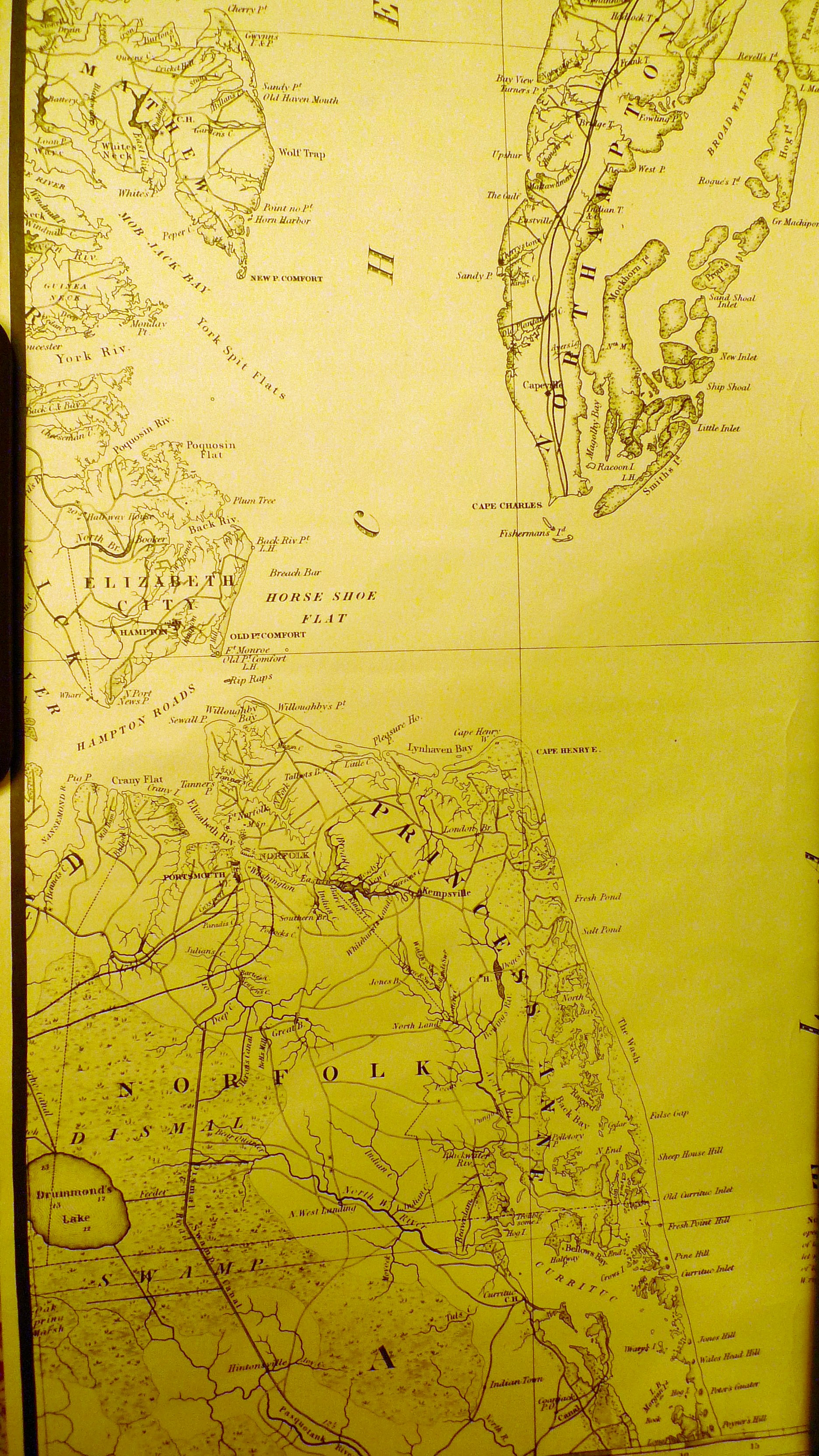
Cape Henry and Cape Charles at the entrance to the Chesapeake Bay
Summary[edit]
| Description |
English: Chesapeake Bay mouth with lower Virginia and the lower Eastern Shore |
| Date | |
| Source | Map of Virginia...1859: Map 755 1859 Cop. 1: 64-2751 |
| Author | John Tyler, Governor of the State of Virginia; entered according to an Act of Congress, April 14, 1826. |
| Camera location | | View this and other nearby images on: OpenStreetMap |
|---|
Licensing[edit]
This work is in the public domain in the United States because it was published (or registered with the U.S. Copyright Office) before January 1, 1929.
Public domain works must be out of copyright in both the United States and in the source country of the work in order to be hosted on the Commons. If the work is not a U.S. work, the file must have an additional copyright tag indicating the copyright status in the source country.
Note: This tag should not be used for sound recordings. |
File history
Click on a date/time to view the file as it appeared at that time.
| Date/Time | Thumbnail | Dimensions | User | Comment | |
|---|---|---|---|---|---|
| current | 03:31, 13 June 2019 | | 1,872 × 3,328 (1.75 MB) | Comingdeer (talk | contribs) | User created page with UploadWizard |
You cannot overwrite this file.
File usage on Commons
There are no pages that use this file.
File usage on other wikis
The following other wikis use this file:
- Usage on en.wikipedia.org