File:Carta della colonia Eritrea e dell'Abissinia.jpg
Jump to navigation
Jump to search
Size of this preview: 800 × 566 pixels. Other resolutions: 320 × 227 pixels | 640 × 453 pixels | 1,024 × 725 pixels | 1,280 × 906 pixels | 2,336 × 1,654 pixels.
Original file (2,336 × 1,654 pixels, file size: 2.02 MB, MIME type: image/jpeg)
Captions
Captions
Add a one-line explanation of what this file represents
Summary
[edit]
| Description |
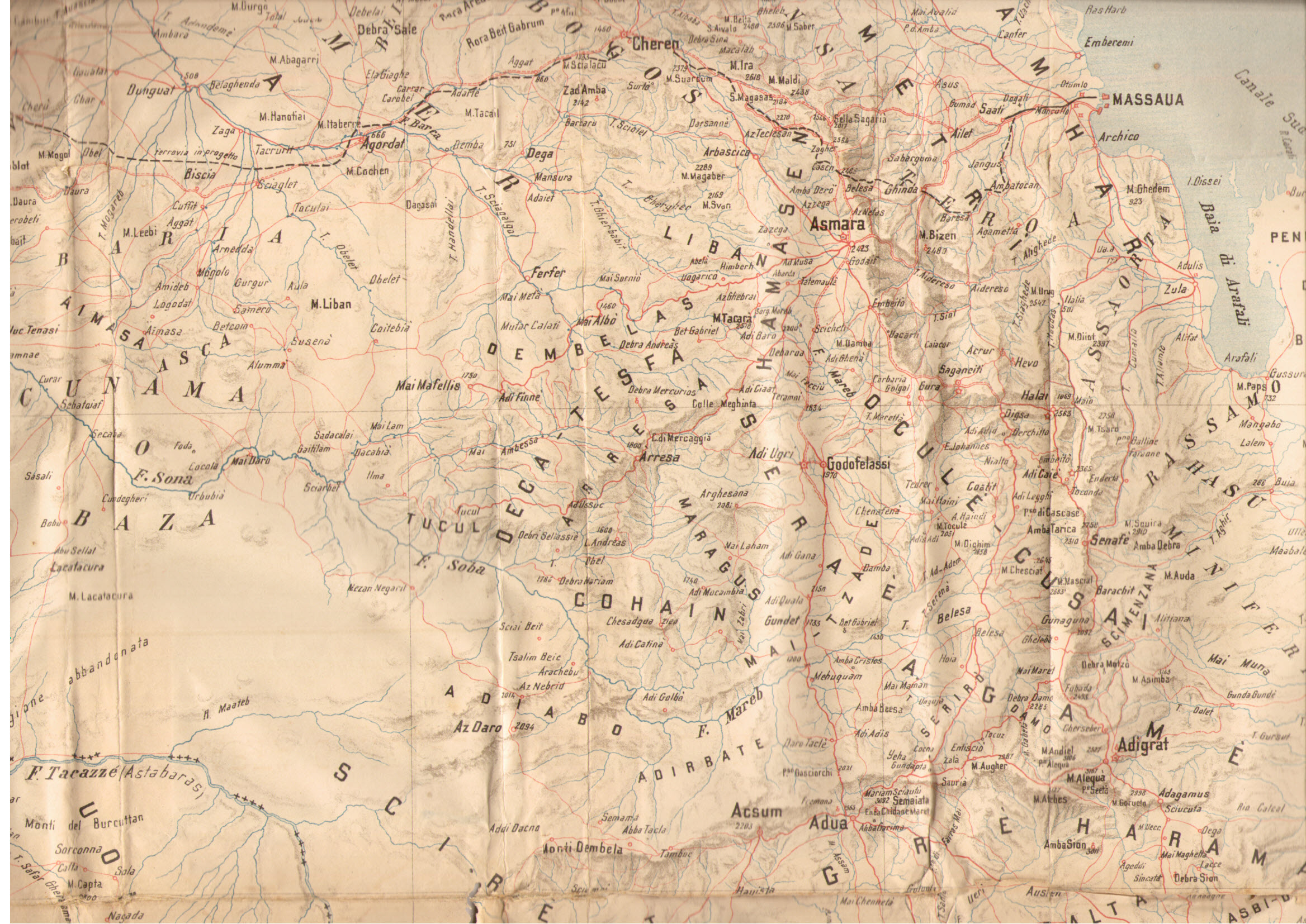
English: Map of the region of Eritrea and Ethiopia in 1898
Italiano: Carta della regione dell'Eritrea e dell'Abissinia nel 1898 |
| Date | |
| Source | scan da Oreste Barattieri "Memorie d'Africa (1892-1896)", Roma 1898 |
| Author | Unknown author |
Licensing
[edit]
|
This work is in the public domain in its country of origin and other countries and areas where the copyright term is the author's life plus 70 years or fewer. | |
| This file has been identified as being free of known restrictions under copyright law, including all related and neighboring rights. | |
File history
Click on a date/time to view the file as it appeared at that time.
| Date/Time | Thumbnail | Dimensions | User | Comment | |
|---|---|---|---|---|---|
| current | 22:41, 19 February 2014 | | 2,336 × 1,654 (2.02 MB) | Xerse~commonswiki (talk | contribs) | {{Information |Description ={{en|1=Map of the region of Eritrea and Ethiopia in 1898}} {{it|1=Carta della regione dell'Eritrea e dell'Abissinia nel 1898}} |Source =scan da Oreste Barattieri "Memorie d'Africa (1892-1896)", Roma 1898 |Author... |
You cannot overwrite this file.
File usage on Commons
There are no pages that use this file.