File:Cartouche in an Ancient Africa map by Wells.jpg
Jump to navigation
Jump to search

Size of this preview: 466 × 600 pixels. Other resolutions: 186 × 240 pixels | 540 × 695 pixels.
Original file (540 × 695 pixels, file size: 430 KB, MIME type: image/jpeg)
Captions
Captions
Add a one-line explanation of what this file represents
Summary[edit]
| Description |
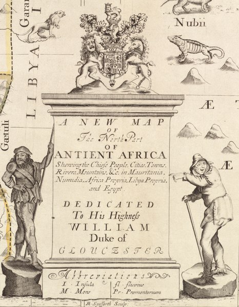
Zoom into this map at maps.bpl.org. Author: Wells, Edward Publisher: Date: 1700 Location: Africa, North Dimension: 35x47cm Scale: Scales differ Call Number: G8220 1700 .W45x |
||||||||||||||||||||
| Date | |||||||||||||||||||||
| Source | A new map of the north part of antient Africa shewing the chiefe people, cities, towns, rivers, mountains, &c. in Mauritania, Numidia, Africa Propria, Libya Propria and Egypt | ||||||||||||||||||||
| Author |
|
||||||||||||||||||||
| Other versions |
|
||||||||||||||||||||

.jpg)

.jpg)
Licensing[edit]
This file is licensed under the Creative Commons Attribution 2.0 Generic license.
- You are free:
- to share – to copy, distribute and transmit the work
- to remix – to adapt the work
- Under the following conditions:
- attribution – You must give appropriate credit, provide a link to the license, and indicate if changes were made. You may do so in any reasonable manner, but not in any way that suggests the licensor endorses you or your use.
File history
Click on a date/time to view the file as it appeared at that time.
| Date/Time | Thumbnail | Dimensions | User | Comment | |
|---|---|---|---|---|---|
| current | 15:45, 3 December 2022 | | 540 × 695 (430 KB) | Enyavar (talk | contribs) | File:A new map of the north part of antient Africa shewing the chiefe people, cities, towns, rivers, mountains, &c. in Mauritania, Numidia, Africa Propria, Libya Propria and Egypt (5961362528).jpg cropped 73 % horizontally, 54 % vertically using CropTool with lossless mode. |
You cannot overwrite this file.
File usage on Commons
The following page uses this file: