File:Chapel Allerton map.jpg
Jump to navigation
Jump to search
No higher resolution available.
Chapel_Allerton_map.jpg (720 × 595 pixels, file size: 64 KB, MIME type: image/jpeg)
Captions
Captions
Add a one-line explanation of what this file represents
Summary[edit]
| Description |
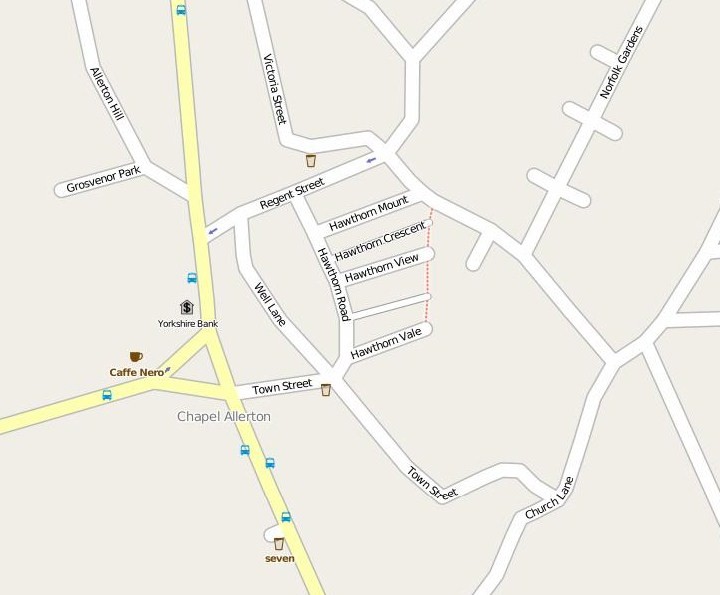
English: A map of central Chapel Allerton, Leeds. Note the lack of main roads due to Harrogate Road becoming less imoprtant since the construction of the A61 Scott Hall Road which effectively bypasses Chapel Allerton. Copied from openstreetmap.org on the 29/09/2009. |
| Date | copied 2009/09/29 |
| Source | http://www.openstreetmap.org |
| Author | openstreetmap.org |
Licensing[edit]
This file is licensed under the Creative Commons Attribution-Share Alike 2.5 Generic license.
- You are free:
- to share – to copy, distribute and transmit the work
- to remix – to adapt the work
- Under the following conditions:
- attribution – You must give appropriate credit, provide a link to the license, and indicate if changes were made. You may do so in any reasonable manner, but not in any way that suggests the licensor endorses you or your use.
- share alike – If you remix, transform, or build upon the material, you must distribute your contributions under the same or compatible license as the original.
File history
Click on a date/time to view the file as it appeared at that time.
| Date/Time | Thumbnail | Dimensions | User | Comment | |
|---|---|---|---|---|---|
| current | 18:27, 29 September 2009 | | 720 × 595 (64 KB) | Mtaylor848 (talk | contribs) | {{Information |Description={{en|1=A map of central Chapel Allerton, Leeds. Note the lack of main roads due to Harrogate Road becoming less imoprtant since the construction of the A61 Scott Hall Road which effectively bypasses Chapel Allerton. Copied fro |
You cannot overwrite this file.
File usage on Commons
There are no pages that use this file.
File usage on other wikis
The following other wikis use this file:
- Usage on en.wikipedia.org