File:Cripple Creek city limit sign.JPG
Jump to navigation
Jump to search
Size of this preview: 800 × 477 pixels. Other resolutions: 320 × 191 pixels | 640 × 382 pixels | 1,024 × 611 pixels | 1,280 × 764 pixels | 2,560 × 1,528 pixels | 5,429 × 3,240 pixels.
Original file (5,429 × 3,240 pixels, file size: 12.64 MB, MIME type: image/jpeg)
Captions
Captions
Add a one-line explanation of what this file represents
Summary[edit]
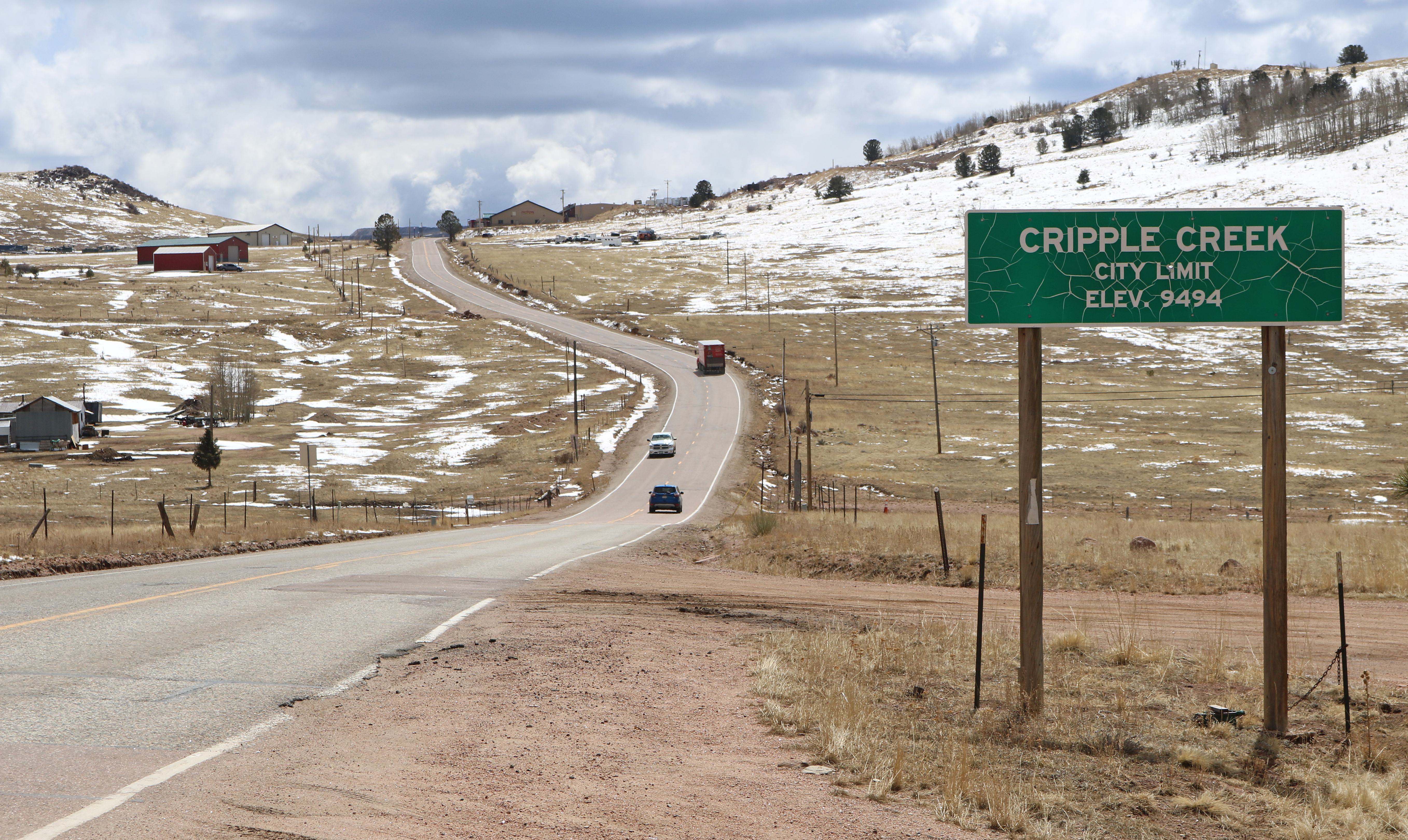
| Description | A city limit sign for Cripple Creek, Colorado. The sign is located at the city's northwest border along Teller County Road 1. |
| Date | |
| Source | Own work |
| Author | Jeffrey Beall |
| Object location | | View this and other nearby images on: OpenStreetMap |
|---|
Licensing[edit]
I, the copyright holder of this work, hereby publish it under the following license:
This file is licensed under the Creative Commons Attribution 4.0 International license.
- You are free:
- to share – to copy, distribute and transmit the work
- to remix – to adapt the work
- Under the following conditions:
- attribution – You must give appropriate credit, provide a link to the license, and indicate if changes were made. You may do so in any reasonable manner, but not in any way that suggests the licensor endorses you or your use.
File history
Click on a date/time to view the file as it appeared at that time.
| Date/Time | Thumbnail | Dimensions | User | Comment | |
|---|---|---|---|---|---|
| current | 15:23, 6 April 2022 | | 5,429 × 3,240 (12.64 MB) | Jeffrey Beall (talk | contribs) | {{Information |Description=A city limit sign for {{W|Cripple Creek, Colorado}}. The sign is located at the city's northwest border along Teller County Road 1. |Source={{own}} |Date=2022-04-01 |Author= Jeffrey Beall |Permission= |other_versions= }} {{Object location|38|45|31.84|N|105|12|8.44|W}} Category:City signs in Colorado Category:City limit signs in the United States Category:Cripple Creek, Colorado Category:Number 9494 on road signs [[Category:Cou... |
You cannot overwrite this file.
File usage on Commons
There are no pages that use this file.