File:Croatia map municipalities.svg
Jump to navigation
Jump to search

Size of this PNG preview of this SVG file: 614 × 600 pixels. Other resolutions: 246 × 240 pixels | 491 × 480 pixels | 786 × 768 pixels | 1,048 × 1,024 pixels | 2,096 × 2,048 pixels | 1,265 × 1,236 pixels.
Original file (SVG file, nominally 1,265 × 1,236 pixels, file size: 467 KB)
Captions
Captions
Add a one-line explanation of what this file represents
Summary[edit]
| Description |
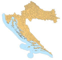
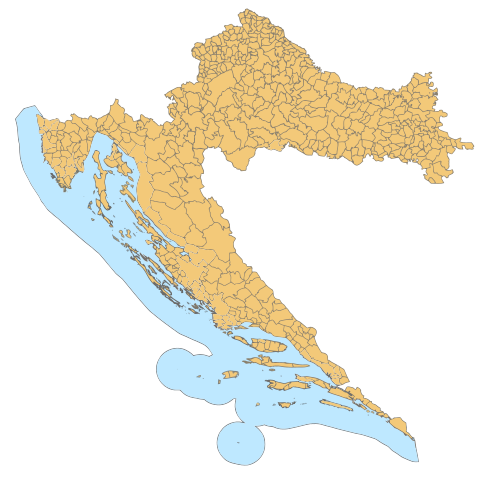
English: Croatian municipalities |
| Date | |
| Source | File:Croatia map municipalities.gif |
| Author | Suradnik13 and Ex13 (.gif to .svg) |
| Other versions | File:Croatia map municipalities.gif |
Licensing[edit]
I, the copyright holder of this work, hereby publish it under the following license:
This file is licensed under the Creative Commons Attribution 3.0 Unported license.
- You are free:
- to share – to copy, distribute and transmit the work
- to remix – to adapt the work
- Under the following conditions:
- attribution – You must give appropriate credit, provide a link to the license, and indicate if changes were made. You may do so in any reasonable manner, but not in any way that suggests the licensor endorses you or your use.
File history
Click on a date/time to view the file as it appeared at that time.
| Date/Time | Thumbnail | Dimensions | User | Comment | |
|---|---|---|---|---|---|
| current | 13:01, 30 July 2009 | | 1,265 × 1,236 (467 KB) | Ex13 (talk | contribs) | background |
| 12:59, 30 July 2009 |  | 1,265 × 1,236 (462 KB) | Ex13 (talk | contribs) | {{Information |Description={{en|1=Croatian municipalities}} |Source=File:Croatia map municipalities.gif |Author=Suradnik13 and Ex13 (.gif to .svg) |Date=2009 |Permission= |other_versions=File:Croatia map municipaliti |
You cannot overwrite this file.
File usage on Commons
The following 3 pages use this file:
File usage on other wikis
The following other wikis use this file:
- Usage on cs.wikipedia.org
- Usage on de.wikipedia.org
- Liste der Orte in Kroatien
- Nationalpark Plitvicer Seen
- Nationalpark Krka
- Nationalpark Kornaten
- Nationalpark Risnjak
- Nationalpark Mljet
- Nationalpark Paklenica
- Nationalpark Nördlicher Velebit
- Naturpark Kopački rit
- Naturpark Telašćica
- Naturpark Medvednica
- Naturpark Papuk
- Naturpark Lonjsko polje
- Naturpark Biokovo
- Naturpark Žumberak und die Samobor-Berge
- Velebit
- Naturpark Vransko jezero
- Naturpark Učka
- Brijuni
- Vorlage:Navigationsleiste Kroatische Nationalparks
- Vorlage:Navigationsleiste Kroatische Naturparks
- Naturpark Lastovo
- Wikipedia:Kartenwerkstatt/Archiv/2008-05
- Usage on hr.wikipedia.org
- Usage on ja.wikipedia.org
- Usage on sh.wikipedia.org
- Usage on sl.wikipedia.org
- Usage on sv.wikipedia.org
- Usage on uk.wikipedia.org