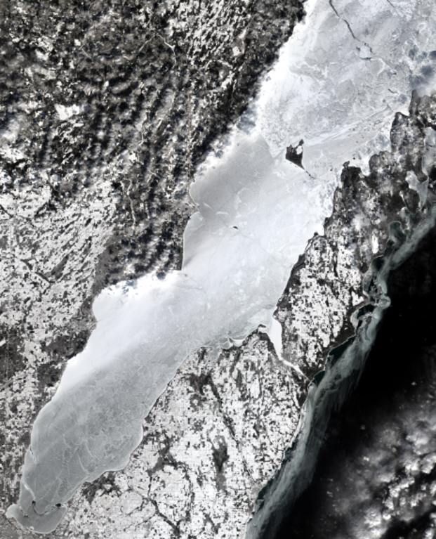
File:Crop of Lower Green Bay, February 25, 2022, true color Landsat-8.png
Jump to navigation
Jump to search

Size of this preview: 485 × 600 pixels. Other resolutions: 194 × 240 pixels | 388 × 480 pixels | 621 × 768 pixels | 828 × 1,024 pixels | 1,657 × 2,048 pixels | 2,785 × 3,443 pixels.
Original file (2,785 × 3,443 pixels, file size: 18.27 MB, MIME type: image/png)
Captions
Captions
Add a one-line explanation of what this file represents
| Description | ||||
| Date | ||||
| Source | converted to .png by Epiphyllumlover from the original .tif available as item LC09_L1TP_023029_20220225_20220225_02_T1_B2, B3, and B4 on EarthExplorer | |||
| Author | National Oceanic and Atmospheric Administration's Landsat program | |||
| Permission (Reusing this file) |
|
|||
| Other versions |

File history
Click on a date/time to view the file as it appeared at that time.
| Date/Time | Thumbnail | Dimensions | User | Comment | |
|---|---|---|---|---|---|
| current | 14:04, 28 March 2022 | | 2,785 × 3,443 (18.27 MB) | Epiphyllumlover (talk | contribs) | File:Lower Green Bay, February 25, 2022, true color Landsat-8.png cropped 64 % horizontally, 57 % vertically using CropTool with lossless mode. |
You cannot overwrite this file.
File usage on Commons
The following page uses this file:
File usage on other wikis
The following other wikis use this file:
- Usage on en.wikipedia.org