File:Cruising the Nile, Qena, Egypt - panoramio (1).jpg
Jump to navigation
Jump to search

Size of this preview: 800 × 321 pixels. Other resolutions: 320 × 128 pixels | 640 × 257 pixels | 1,024 × 411 pixels | 1,280 × 513 pixels | 4,288 × 1,719 pixels.
Original file (4,288 × 1,719 pixels, file size: 1.76 MB, MIME type: image/jpeg)
Captions
Captions
Add a one-line explanation of what this file represents
Summary[edit]
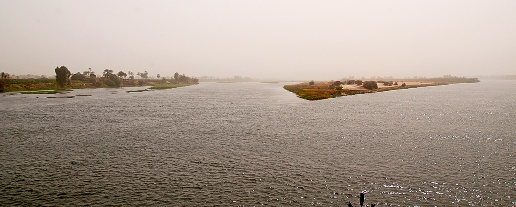
| Description | Cruising the Nile, Qena, Egypt | ||
| Date | 26 February 2010 (according to Exif data) | ||
| Source | https://web.archive.org/web/20161021020828/http://www.panoramio.com/photo/61392530 | ||
| Author | David Broad | ||
| Permission (Reusing this file) |
This file is licensed under the Creative Commons Attribution 3.0 Unported license. Attribution: David Broad
|
||
| Tags (from Panoramio photo page) | Ad Deir Ash Sharqi, _High-01K, Egypt, Nile, Qena |
| Camera location | | View this and other nearby images on: OpenStreetMap |
|---|

.jpg&action=edit§ion=1)
.jpg¶ms=026.087247_N_0032.765153_E_globe:Earth_type:camera_source:Panoramio_&language=en)
.jpg&action=edit&withJS=MediaWiki:Catcheck.js)
File history
Click on a date/time to view the file as it appeared at that time.
| Date/Time | Thumbnail | Dimensions | User | Comment | |
|---|---|---|---|---|---|
| current | 12:21, 22 December 2016 | 4,288 × 1,719 (1.76 MB) | Panoramio upload bot (talk | contribs) | == {{int:filedesc}} == {{Information |description=Cruising the Nile, Qena, Egypt |date={{Taken on|2010-02-26}} |source=http://www.panoramio.com/photo/61392530 |author=[http://www.panoramio.com/user/2134453?with_photo_id=61392530 David Broad] |permissio... |
You cannot overwrite this file.
File usage on Commons
There are no pages that use this file.
.jpg&oldid=871568557)