File:Cultivo de Colza.jpg
Jump to navigation
Jump to search
Size of this preview: 800 × 533 pixels. Other resolutions: 320 × 213 pixels | 640 × 427 pixels | 1,024 × 683 pixels | 1,280 × 854 pixels | 2,479 × 1,653 pixels.
Original file (2,479 × 1,653 pixels, file size: 4.63 MB, MIME type: image/jpeg)
Captions
Captions
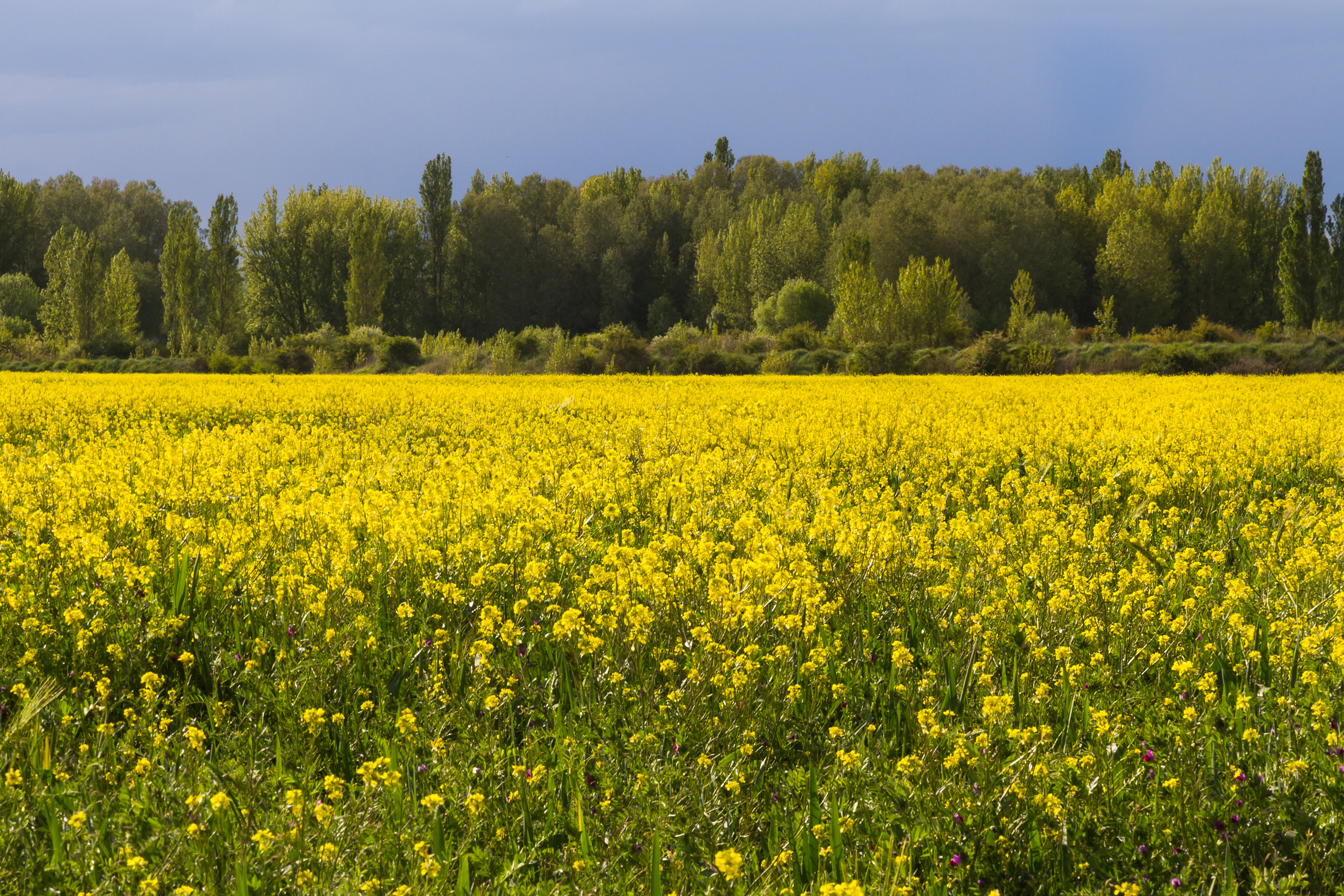
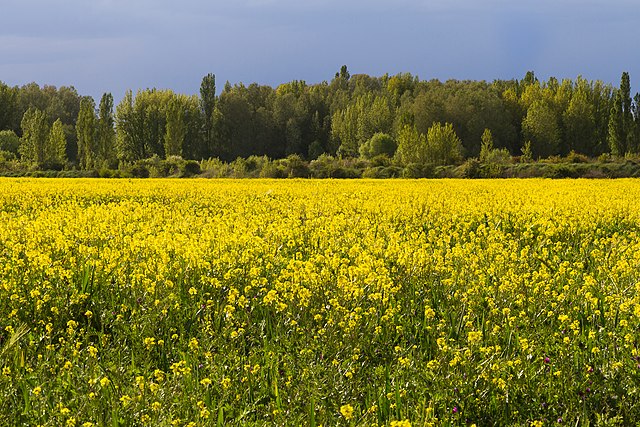
Rapeseed cultivation on the banks of the Cea River
Summary[edit]
| Description |
Español: Riberas del río Cea. Campo primaveral con cultivo de colza florecido en amarillo y al fondo de chopos a lo largo del río
|
||
| Date | |||
| Source | Own work | ||
| Author | Siurle |
| Camera location | | View this and other nearby images on: OpenStreetMap |
|---|
Licensing[edit]
I, the copyright holder of this work, hereby publish it under the following license:
This file is licensed under the Creative Commons Attribution-Share Alike 4.0 International license.
- You are free:
- to share – to copy, distribute and transmit the work
- to remix – to adapt the work
- Under the following conditions:
- attribution – You must give appropriate credit, provide a link to the license, and indicate if changes were made. You may do so in any reasonable manner, but not in any way that suggests the licensor endorses you or your use.
- share alike – If you remix, transform, or build upon the material, you must distribute your contributions under the same or compatible license as the original.
This image was uploaded as part of Wiki Loves Earth 2019.
|
 |
File history
Click on a date/time to view the file as it appeared at that time.
| Date/Time | Thumbnail | Dimensions | User | Comment | |
|---|---|---|---|---|---|
| current | 14:48, 17 May 2019 | | 2,479 × 1,653 (4.63 MB) | Siurle (talk | contribs) | User created page with UploadWizard |
You cannot overwrite this file.
File usage on Commons
There are no pages that use this file.