File:DSC02123 - Flander Fields (44777804882).jpg

Original file (6,000 × 4,000 pixels, file size: 29.13 MB, MIME type: image/jpeg)
Captions
Captions
Summary[edit]
.jpg&action=edit§ion=1)
| Description |
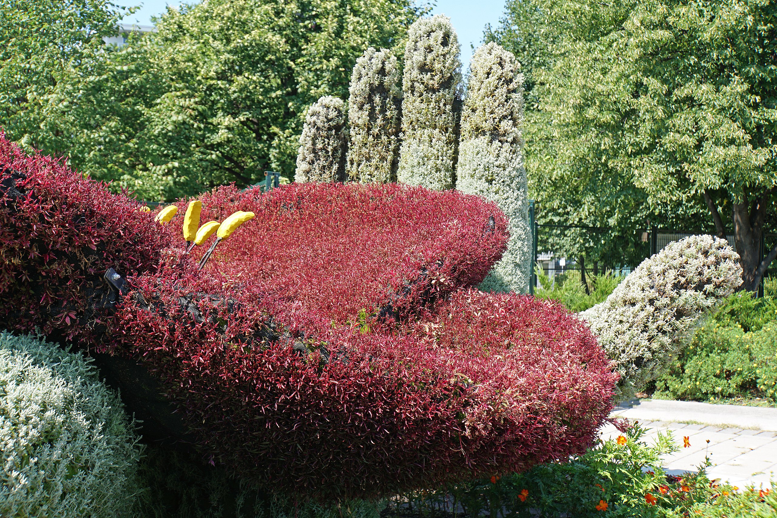
PLEASE, NO invitations or self promotions, THEY WILL BE DELETED. My photos are FREE to use, just give me credit and it would be nice if you let me know, thanks. If the striking red wildflower we know as the poppy is such a well-known symbol today, it is thanks to this poem written during the First World War by Canadian army surgeon Major John McCrae. In the spring of 1915, fighting raged in Ypres Salient, as the military called the area around the Flemish city of Ypres in Belgium. McCrae’s best friend and brother-in-arms fell in battle there. Contrasting with the bloody carnage, the colourful poppies stood silently swaying in the fields, inspiring McCrae to pen what became the most popular poem of the war. Because of its evocative power, the poppy was adopted as the memorial flower honouring the war dead in the British Commonwealth, France and the United States. Each year, come Remembrance Day, November 11th, men and women, especially in Canada and Britain, pin this red emblem to their lapel and remember. In Flanders fields the poppies blow Between the crosses, row on row, That mark our place; and in the sky The larks, still bravely singing, fly Scarce heard amid the guns below. We are the Dead. Short days ago We lived, felt dawn, saw sunset glow, Loved and were loved, and now we lie, In Flanders fields. Take up our quarrel with the foe: To you from failing hands we throw The torch; be yours to hold it high. If ye break faith with us who die We shall not sleep, though poppies grow In Flanders fields. |
| Date | |
| Source | DSC02123 - Flander Fields |
| Author | Dennis Jarvis from Halifax, Canada |
| Camera location | | View this and other nearby images on: OpenStreetMap |
|---|
.jpg¶ms=045.434026_N_-075.708181_E_globe:Earth_type:camera_source:Flickr_&language=en)
Licensing[edit]
.jpg&action=edit§ion=2)
- You are free:
- to share – to copy, distribute and transmit the work
- to remix – to adapt the work
- Under the following conditions:
- attribution – You must give appropriate credit, provide a link to the license, and indicate if changes were made. You may do so in any reasonable manner, but not in any way that suggests the licensor endorses you or your use.
- share alike – If you remix, transform, or build upon the material, you must distribute your contributions under the same or compatible license as the original.
| This image was originally posted to Flickr by archer10 (Dennis) at https://flickr.com/photos/22490717@N02/44777804882. It was reviewed on 18 February 2022 by FlickreviewR 2 and was confirmed to be licensed under the terms of the cc-by-sa-2.0. |
File history
Click on a date/time to view the file as it appeared at that time.
| Date/Time | Thumbnail | Dimensions | User | Comment | |
|---|---|---|---|---|---|
| current | 16:35, 18 February 2022 | | 6,000 × 4,000 (29.13 MB) | SeichanGant (talk | contribs) | Transferred from Flickr via #flickr2commons |
You cannot overwrite this file.
File usage on Commons
There are no pages that use this file.
.jpg&oldid=745726798)