File:DSC3016 - panoramio.jpg
Jump to navigation
Jump to search
Size of this preview: 800 × 534 pixels. Other resolutions: 320 × 213 pixels | 640 × 427 pixels | 1,024 × 683 pixels | 1,280 × 854 pixels | 2,456 × 1,638 pixels.
Original file (2,456 × 1,638 pixels, file size: 2.11 MB, MIME type: image/jpeg)
Captions
Captions
Add a one-line explanation of what this file represents
Summary[edit]
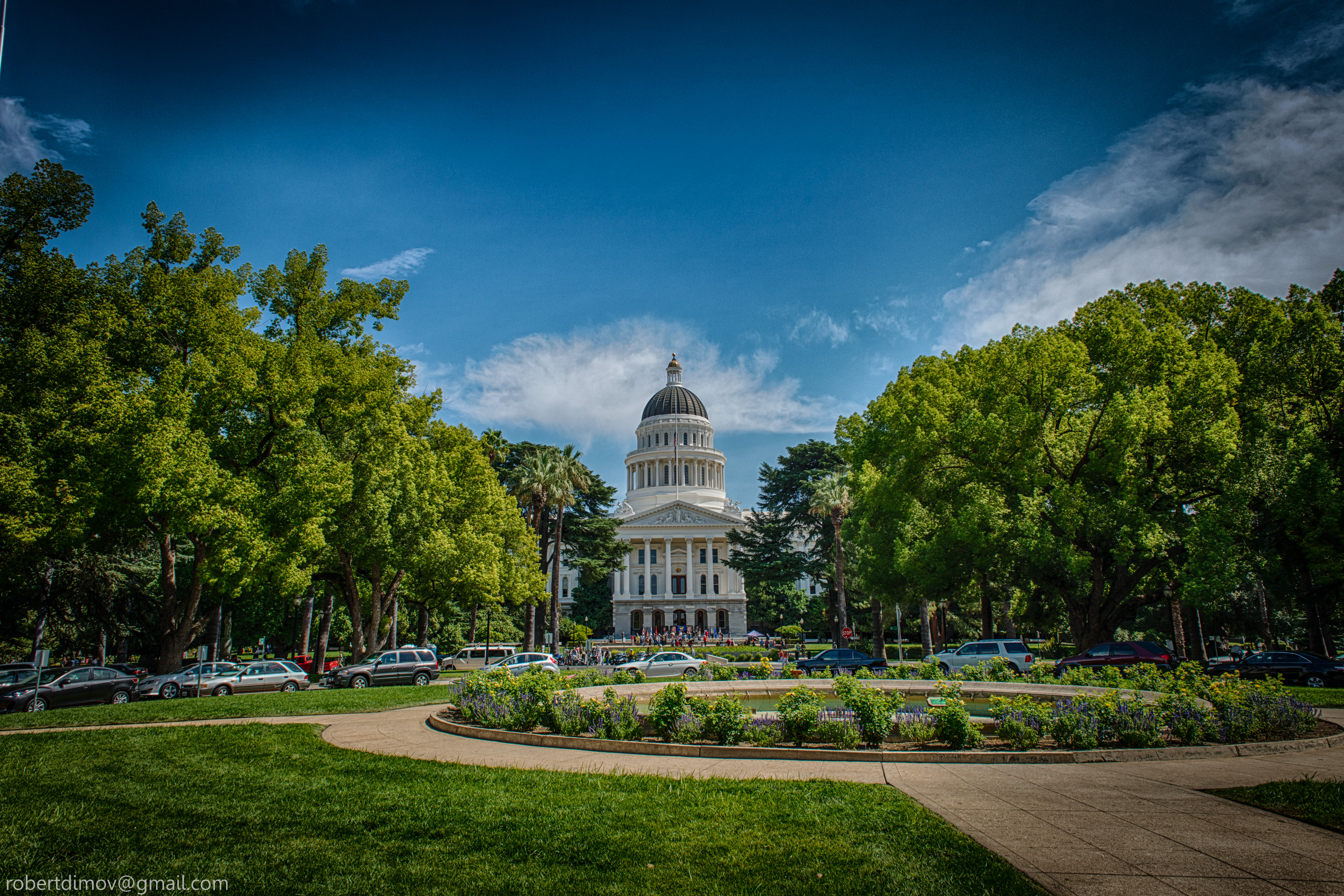
| Description | DSC3016- | ||
| Date | Taken on 11 September 2013 | ||
| Source | https://web.archive.org/web/20161031003611/http://www.panoramio.com/photo/118940318 | ||
| Author | Robert Dimov | ||
| Permission (Reusing this file) |
This file is licensed under the Creative Commons Attribution-Share Alike 3.0 Unported license. Attribution: Robert Dimov
|
||
| Other versions | |||
| Panoramio Tags | Sacramento, California, Sacramento |

| Camera location | | View this and other nearby images on: OpenStreetMap |
|---|
File history
Click on a date/time to view the file as it appeared at that time.
| Date/Time | Thumbnail | Dimensions | User | Comment | |
|---|---|---|---|---|---|
| current | 01:27, 5 June 2017 | | 2,456 × 1,638 (2.11 MB) | Panoramio upload bot (talk | contribs) | == {{int:filedesc}} == {{Information |description=DSC3016- |date={{Taken on|2013-09-11}} |source=http://www.panoramio.com/photo/118940318 |author=[http://www.panoramio.com/user/7050661?with_photo_id=118940318 Robert Dimov] |permission={{cc-by-sa-3.0|Ro... |
You cannot overwrite this file.
File usage on Commons
The following page uses this file: