File:Deane Parish Church.jpg
Jump to navigation
Jump to search
No higher resolution available.
Deane_Parish_Church.jpg (622 × 466 pixels, file size: 205 KB, MIME type: image/jpeg)
Captions
Captions
Add a one-line explanation of what this file represents
| Description |
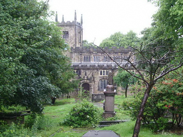
Deane Parish Church, Deane, Greater Manchester, England.
|
||
| Date | |||
| Source | geograph.org.uk | ||
| Author | Alexander P Kapp | ||
| Permission (Reusing this file) |
This file is licensed under the Creative Commons Attribution-Share Alike 2.0 Generic license. Attribution: Alexander P Kapp
|
||
| Attribution (required by the license) | Alexander P Kapp / Deane Parish Church, St Mary the Virgin / | ||

| Camera location | | View this and other nearby images on: OpenStreetMap |
|---|
_heading:0.00&language=en)
| Object location | | View this and other nearby images on: OpenStreetMap |
|---|
_heading:0.00&language=en)
File history
Click on a date/time to view the file as it appeared at that time.
| Date/Time | Thumbnail | Dimensions | User | Comment | |
|---|---|---|---|---|---|
| current | 15:13, 13 November 2008 | | 622 × 466 (205 KB) | Jza84 (talk | contribs) | {{Information |Description=Deane Parish Church, Deane, Greater Manchester, England. |Source=[http://www.geograph.org.uk/photo/467273 geograph.org.uk] |Date=13 June, 2007 |Author=Alexander P Kapp |Permission={{geograph|467273|Alexander P Kapp}} |other_v |
You cannot overwrite this file.
File usage on Commons
The following 2 pages use this file:
File usage on other wikis
The following other wikis use this file:
- Usage on dag.wikipedia.org
- Usage on en.wikipedia.org
- Usage on lld.wikipedia.org
- Usage on www.wikidata.org