File:Denkendorfer Talbrücke 02.JPG
Jump to navigation
Jump to search

Size of this preview: 800 × 598 pixels. Other resolutions: 320 × 239 pixels | 640 × 478 pixels | 1,024 × 765 pixels | 1,280 × 956 pixels | 2,592 × 1,936 pixels.
Original file (2,592 × 1,936 pixels, file size: 1.93 MB, MIME type: image/jpeg)
Captions
Captions
Add a one-line explanation of what this file represents
Summary[edit]
| Description |
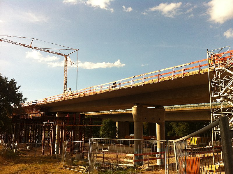
Deutsch: Talbrücke Denkendorf an der Neubaustrecke Stuttgart-Wendlingen |
| Date | |
| Source |
Own work Original text: selbst fotografiert |
| Author | ChrisStuggi (Diskussion) |
| Camera location | | View this and other nearby images on: OpenStreetMap |
|---|
Licensing[edit]

|
The copyright holder of this work allows anyone to use it for any purpose including unrestricted redistribution, commercial use, and modification.
Usage notes:
|
Original upload log[edit]
Transferred from de.wikipedia to Commons by Wdwdbot using script bot_filetrans.pl (r59M).
The original description page was here. All following user names refer to de.wikipedia.
- 2016-08-30 12:16:40 ChrisStuggi (2023300 Bytes) {{Information |Beschreibung = Talbrücke Denkendorf an der Neubaustrecke Stuttgart-Wendlingen |Quelle = selbst fotografiert |Urheber = ~~~ |Datum = 29. August 2016 |Genehmigung = |Andere Versionen = |Anmerkungen…
File history
Click on a date/time to view the file as it appeared at that time.
| Date/Time | Thumbnail | Dimensions | User | Comment | |
|---|---|---|---|---|---|
| current | 08:13, 6 September 2016 | | 2,592 × 1,936 (1.93 MB) | Wdwdbot (talk | contribs) | Bot Move: Original uploader of this revision (#1) was ChrisStuggi at de.wikipedia |
You cannot overwrite this file.
File usage on Commons
There are no pages that use this file.