File:Detalle mapa de Peru de Blauew.jpg
Jump to navigation
Jump to search
No higher resolution available.
Detalle_mapa_de_Peru_de_Blauew.jpg (737 × 553 pixels, file size: 73 KB, MIME type: image/jpeg)
Captions
Captions
Add a one-line explanation of what this file represents
Summary[edit]
| Description |
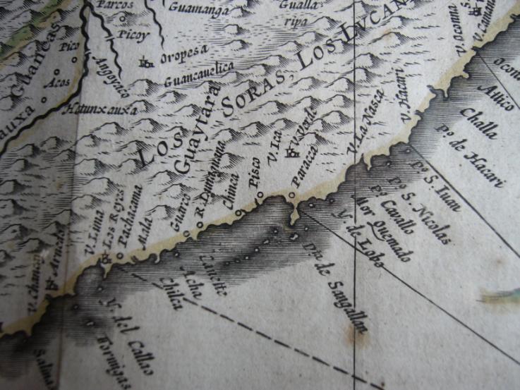
English: Part of a map of Peru.
Español: Esta imagen es parte de un mapa necesariamente descriptivo para el artículo, tiene información acerca de su origen y es una foto independiente y parcial de la foto "Image:Perv-Guiljelmus Blaeuw.JPG", mapa de 1635, de propiedad de Manuel González Olaechea y Franco. Su descripción está en el artículo es:Pisco en los mapas históricos. |
| Date | |
| Source | Prince edition. 300 pieces. |
| Author | Guiljelmus Blaeuw (cartographer); Manuel González Olaechea y Franco (photographer) |
| Other versions |
This file was derived from: Perv-Guiljelmus Blaeuw.JPG |
Licensing[edit]
|
This work is in the public domain in its country of origin and other countries and areas where the copyright term is the author's life plus 100 years or fewer. | |
| This file has been identified as being free of known restrictions under copyright law, including all related and neighboring rights. | |
File history
Click on a date/time to view the file as it appeared at that time.
| Date/Time | Thumbnail | Dimensions | User | Comment | |
|---|---|---|---|---|---|
| current | 11:21, 31 August 2006 | | 737 × 553 (73 KB) | Sanbec (talk | contribs) | Imagen realizada por es:User:Manuel González Olaechea y Franco Esta imagen es parte de un mapa necesariamente descriptivo para el artículo, tiene información acerca de su origen y es una foto independiente y parcial de la foto "[[:Image:Perv-Guil |
You cannot overwrite this file.
File usage on Commons
The following 2 pages use this file:
File usage on other wikis
The following other wikis use this file:
- Usage on ast.wikipedia.org
- Usage on es.wikipedia.org
- Usage on pt.wikipedia.org