File:Districts of Uganda 2017.png
Jump to navigation
Jump to search

Size of this preview: 649 × 599 pixels. Other resolutions: 260 × 240 pixels | 520 × 480 pixels | 832 × 768 pixels | 1,111 × 1,026 pixels.
Original file (1,111 × 1,026 pixels, file size: 103 KB, MIME type: image/png)
Captions
Captions
Add a one-line explanation of what this file represents
Summary[edit]
| Description |
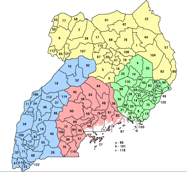
English: Districs & Regions Uganda (2017)
日本語: 2017年時点のウガンダの県と地域の地図。番号はFile:Uganda districts 2010.pngをベースとし、2016年設置(113 - 116)と2017年設置(117 - 122)を追加している。県名はRedpepper.co.ug/Parliament Creates 23 New Districtsを、県域はCitypopulation.de/Ugandaを参考とした。 |
| Date | |
| Source | Own work based on: Uganda counties.png |
| Author |
Syanarion62 based on work by User:Rarelibra |
| Other versions |
File:Uganda districts 2010.png - 2010 File:Districts of Uganda 2018.png - 2018 |
Licensing[edit]
I, the copyright holder of this work, hereby publish it under the following license:
| This file is made available under the Creative Commons CC0 1.0 Universal Public Domain Dedication. | |
| The person who associated a work with this deed has dedicated the work to the public domain by waiving all of their rights to the work worldwide under copyright law, including all related and neighboring rights, to the extent allowed by law. You can copy, modify, distribute and perform the work, even for commercial purposes, all without asking permission.
|
File history
Click on a date/time to view the file as it appeared at that time.
| Date/Time | Thumbnail | Dimensions | User | Comment | |
|---|---|---|---|---|---|
| current | 09:01, 29 November 2017 | | 1,111 × 1,026 (103 KB) | Syanarion62 (talk | contribs) | User created page with UploadWizard |
You cannot overwrite this file.
File usage on Commons
There are no pages that use this file.
File usage on other wikis
The following other wikis use this file:
- Usage on de.wikipedia.org
- Usage on fr.wikipedia.org
- Usage on ja.wikipedia.org
- Usage on ru.wikipedia.org