File:Drobie02.jpg
Jump to navigation
Jump to search
Size of this preview: 450 × 600 pixels. Other resolutions: 180 × 240 pixels | 360 × 480 pixels | 576 × 768 pixels | 1,200 × 1,600 pixels.
Original file (1,200 × 1,600 pixels, file size: 786 KB, MIME type: image/jpeg)
Captions
Captions
Add a one-line explanation of what this file represents
Summary[edit]
| Description |
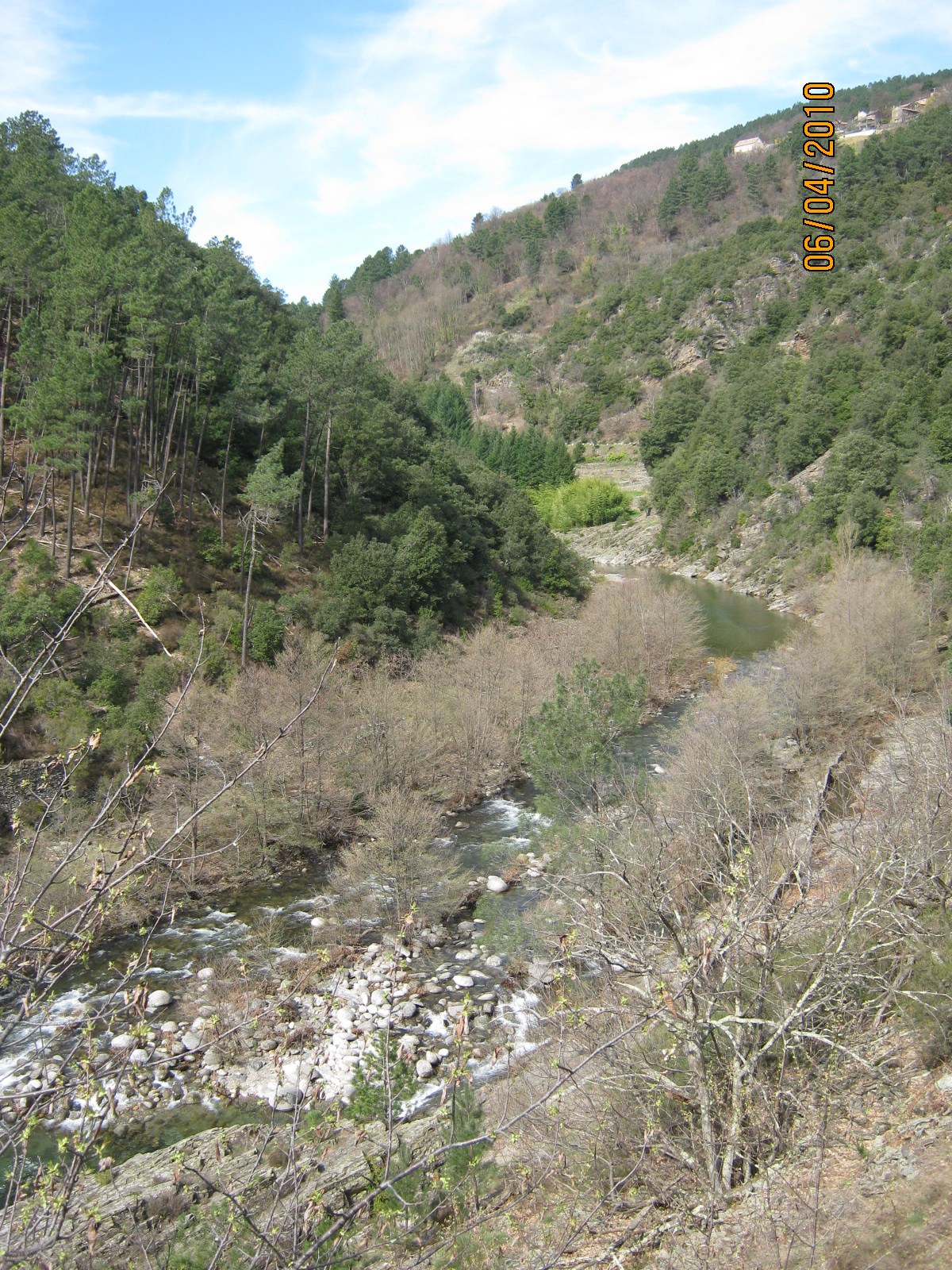
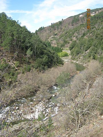
English: The Drobie river seen from the D220 road near the Mailhe hamlet, east of Saint-Mélany in the Ardèche departement, Rhone-Alpes region, France. Looking west. The houses seen half-way up the slope in the upper right corner of the photo are those of Saint-Mélany, standing on the Serre de la Croix mountain. Français : La rivière Drobie et sa vallée, vues de la D220 près du hameau Mailhe, à l'est de Saint-Mélany en Ardèche, région Rhône-Alpes, France. Vue vers l'ouest. Les maisons vues à mi-hauteur de la pente en haut à droite de la photo sont celles de Saint-Mélany, sur la Serre de la Croix. |
| Date | |
| Source | Own work |
| Author | Prankster |
| Camera location | | View this and other nearby images on: OpenStreetMap |
|---|
Licensing[edit]
| I, the copyright holder of this work, release this work into the public domain. This applies worldwide. In some countries this may not be legally possible; if so: I grant anyone the right to use this work for any purpose, without any conditions, unless such conditions are required by law. |
File history
Click on a date/time to view the file as it appeared at that time.
| Date/Time | Thumbnail | Dimensions | User | Comment | |
|---|---|---|---|---|---|
| current | 12:21, 15 August 2010 | | 1,200 × 1,600 (786 KB) | Prankster (talk | contribs) | {{Information |Description={{en|1=Drobie River}} |Source={{own}} |Author=Prankster |Date=2010-04-06 |Permission= |other_versions= }} Category:Drobie |
You cannot overwrite this file.
File usage on Commons
There are no pages that use this file.
File usage on other wikis
The following other wikis use this file:
- Usage on fr.wikipedia.org