File:E3d handia.png
Jump to navigation
Jump to search

Size of this preview: 743 × 600 pixels. Other resolutions: 297 × 240 pixels | 595 × 480 pixels | 951 × 768 pixels | 1,268 × 1,024 pixels | 1,600 × 1,292 pixels.
Original file (1,600 × 1,292 pixels, file size: 1.04 MB, MIME type: image/png)
Captions
Captions
Add a one-line explanation of what this file represents
Summary[edit]
| Description |
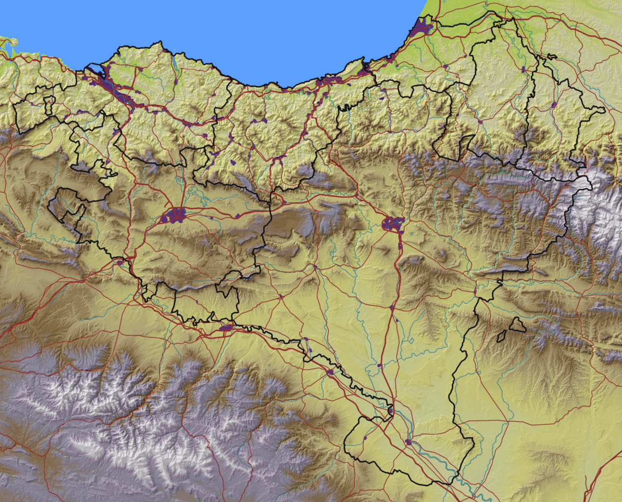
Euskara: Euskal Herriaren mapa fisikoa |
| Date | |
| Source |
|
| Author | Asier Sarasua Garmendia, Assar |
Licensing[edit]
| I, the copyright holder of this work, release this work into the public domain. This applies worldwide. In some countries this may not be legally possible; if so: I grant anyone the right to use this work for any purpose, without any conditions, unless such conditions are required by law. |
File history
Click on a date/time to view the file as it appeared at that time.
| Date/Time | Thumbnail | Dimensions | User | Comment | |
|---|---|---|---|---|---|
| current | 19:27, 26 September 2008 | | 1,600 × 1,292 (1.04 MB) | Assar (talk | contribs) | {{Information |Description={{eu|1=Euskal Herriaren mapa fisikoa}} |Source=*DEM: SRTM3 published by the NASA (http://seamless.usgs.gov) *Cities: own work, digitalization based on Landsat imagery (http://www.landsat.org) *Rivers: own work, digitalization ba |
You cannot overwrite this file.
File usage on Commons
The following 2 pages use this file:
File usage on other wikis
The following other wikis use this file:
- Usage on el.wikipedia.org
- Usage on eu.wikipedia.org