File:East Metro Mall locality map 20080227.jpg
Jump to navigation
Jump to search

Size of this preview: 800 × 600 pixels. Other resolutions: 320 × 240 pixels | 640 × 480 pixels | 1,024 × 768 pixels | 1,280 × 960 pixels | 2,592 × 1,944 pixels.
Original file (2,592 × 1,944 pixels, file size: 945 KB, MIME type: image/jpeg)
Captions
Captions
Add a one-line explanation of what this file represents
| Description |
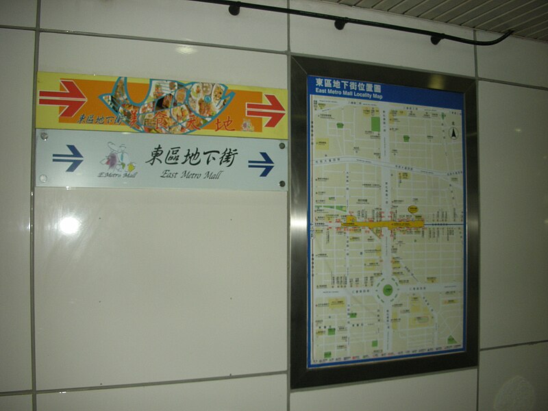
中文(臺灣):臺北市東區地下街位置圖。 |
||
| Date | Taken on 27 February 2008 | ||
| Source | https://web.archive.org/web/20161013093607/http://www.panoramio.com/photo/8150894 | ||
| Author | Tianmu peter | ||
| Permission (Reusing this file) |
This file is licensed under the Creative Commons Attribution 3.0 Unported license. Attribution: Tianmu peter
|
| Camera location | | View this and other nearby images on: OpenStreetMap |
|---|
File history
Click on a date/time to view the file as it appeared at that time.
| Date/Time | Thumbnail | Dimensions | User | Comment | |
|---|---|---|---|---|---|
| current | 08:23, 31 January 2016 | | 2,592 × 1,944 (945 KB) | Panoramio upload bot (talk | contribs) | {{Information |description=東區地下街捷運指示標誌及導覽地圖 |date={{Taken on|2008-02-27}} |source=http://www.panoramio.com/photo/8150894 |author=[http://www.panoramio.com/user/1154423?with_photo_id=8150894 Tianmu peter] |permission={{cc... |
You cannot overwrite this file.
File usage on Commons
The following page uses this file:
- File:東區地下街捷運指示標誌及導覽地圖 - panoramio.jpg (file redirect)