File:Elevation is everything - Flickr - chief huddleston.jpg
Jump to navigation
Jump to search
Size of this preview: 800 × 534 pixels. Other resolutions: 320 × 214 pixels | 640 × 427 pixels | 1,024 × 683 pixels | 1,280 × 854 pixels | 1,920 × 1,281 pixels.
Original file (1,920 × 1,281 pixels, file size: 1.81 MB, MIME type: image/jpeg)
Captions
Captions
Add a one-line explanation of what this file represents
Summary[edit]
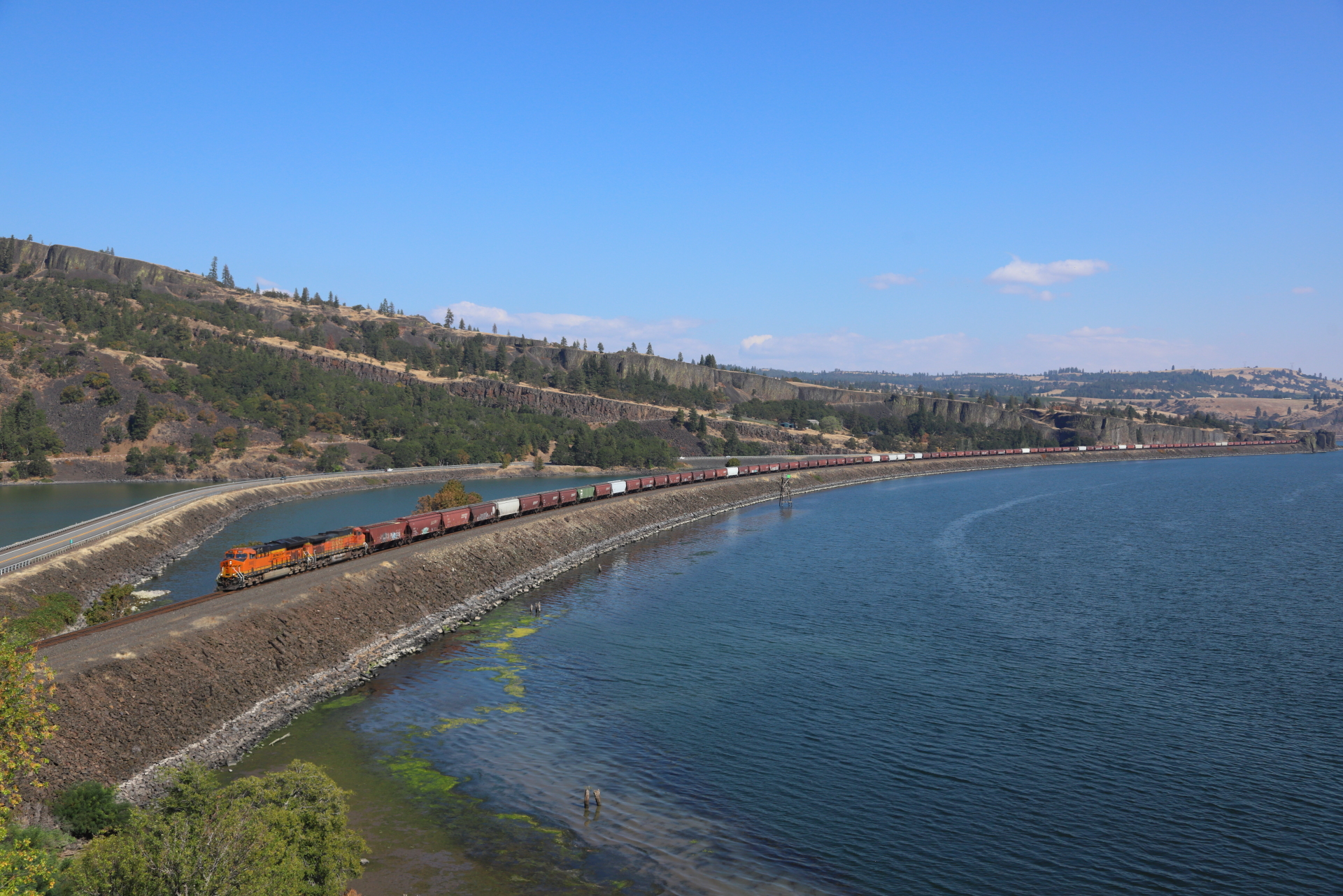
| Description | A loaded BNSF grain train running 2 by 1 heads down the Columbia River near Lyle, Wash. |
| Date | Taken on 1 October 2022, 13:14 |
| Source | Elevation is everything |
| Author | Jerry Huddleston from Hampton, Minnesota, US |
| Camera location | | View this and other nearby images on: OpenStreetMap |
|---|
Licensing[edit]
This file is licensed under the Creative Commons Attribution 2.0 Generic license.
- You are free:
- to share – to copy, distribute and transmit the work
- to remix – to adapt the work
- Under the following conditions:
- attribution – You must give appropriate credit, provide a link to the license, and indicate if changes were made. You may do so in any reasonable manner, but not in any way that suggests the licensor endorses you or your use.
| This image was originally posted to Flickr by chief_huddleston at https://flickr.com/photos/9265232@N04/52415170654. It was reviewed on 17 October 2022 by FlickreviewR 2 and was confirmed to be licensed under the terms of the cc-by-2.0. |

|
This media file is uncategorized.
Please help improve this media file by adding it to one or more categories, so it may be associated with related media files (how?), and so that it can be more easily found.
Please notify the uploader with {{subst:Please link images|File:Elevation is everything - Flickr - chief huddleston.jpg}} ~~~~ |
File history
Click on a date/time to view the file as it appeared at that time.
| Date/Time | Thumbnail | Dimensions | User | Comment | |
|---|---|---|---|---|---|
| current | 04:06, 17 October 2022 | | 1,920 × 1,281 (1.81 MB) | Red panda bot (talk | contribs) | In Flickr Explore: 2022-10-10 |
You cannot overwrite this file.
File usage on Commons
There are no pages that use this file.