File:Elm Lodge, Kirk Ella - geograph.org.uk - 644502.jpg
Jump to navigation
Jump to search
No higher resolution available.
Elm_Lodge,_Kirk_Ella_-_geograph.org.uk_-_644502.jpg (640 × 498 pixels, file size: 106 KB, MIME type: image/jpeg)
Captions
Captions
Add a one-line explanation of what this file represents
Summary[edit]
| Description |
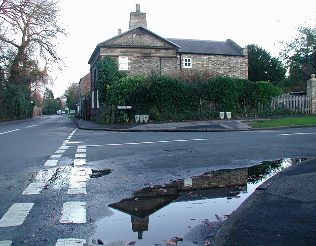
English: Elm Lodge, Kirk Ella, East Riding of Yorkshire, England. Former lodge at the junction of Church Lane and Elms Drive in Kirk Ella, west of Hull, on a wet afternoon in December. According to a blue heritage plaque on the front of the building this late 18th century lodge is one of the last remaining buildings of the former Elms Estate. |
| Date | |
| Source | From geograph.org.uk |
| Author | Paul Glazzard |
| Permission (Reusing this file) |
Creative Commons Attribution Share-alike license 2.0 |
| Attribution (required by the license) | Paul Glazzard / Elm Lodge, Kirk Ella / |
| Camera location | | View this and other nearby images on: OpenStreetMap |
|---|
_heading:90.00&language=en)
| Object location | | View this and other nearby images on: OpenStreetMap |
|---|
_heading:90.00&language=en)
Licensing[edit]

|
This image was taken from the Geograph project collection. See this photograph's page on the Geograph website for the photographer's contact details. The copyright on this image is owned by Paul Glazzard and is licensed for reuse under the Creative Commons Attribution-ShareAlike 2.0 license.
|
This file is licensed under the Creative Commons Attribution-Share Alike 2.0 Generic license.
Attribution: Paul Glazzard
- You are free:
- to share – to copy, distribute and transmit the work
- to remix – to adapt the work
- Under the following conditions:
- attribution – You must give appropriate credit, provide a link to the license, and indicate if changes were made. You may do so in any reasonable manner, but not in any way that suggests the licensor endorses you or your use.
- share alike – If you remix, transform, or build upon the material, you must distribute your contributions under the same or compatible license as the original.
File history
Click on a date/time to view the file as it appeared at that time.
| Date/Time | Thumbnail | Dimensions | User | Comment | |
|---|---|---|---|---|---|
| current | 12:30, 7 February 2011 | | 640 × 498 (106 KB) | GeographBot (talk | contribs) | == {{int:filedesc}} == {{Information |description={{en|1=Elm Lodge, Kirk Ella Former lodge at the junction of Church Lane and Elms Drive in Kirk Ella, west of Hull, on a wet afternoon in December. According to a blue heritage plaque on the front of the bu |
You cannot overwrite this file.
File usage on Commons
There are no pages that use this file.
Metadata
Categories:
- Kirk Ella
- Houses in the East Riding of Yorkshire
- Streets in the East Riding of Yorkshire
- Hedges in the East Riding of Yorkshire
- Trees in the East Riding of Yorkshire
- Puddles in the East Riding of Yorkshire
- Fences in the East Riding of Yorkshire
- Street signs in the East Riding of Yorkshire
- December 2007 in the East Riding of Yorkshire